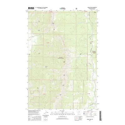
2017 Map of Saddle Peak
USGS Topo · Published 2017About this map
The Bridger Range dominates this portion of the Gallatin National Forest, serving as a massive topographical spine that separates the western gulches from the eastern drainages. High-altitude landmarks like Saddle Peak, Ross Peak, and Bridger Peak define the skyline, connected by natural transit points such as Ross Pass and the Bridger Divide. On the eastern slopes, the development of recreational and residential infrastructure is evident along Bridger Bowl Rd and Flaming Arrow Rd, contrasting with the more secluded western drainages.
Find a feature on this map
48 named features on this map. Tap any name to fly to it.
Don’t see what you’re looking for? This feature index may not catch every label — zoom into the map to look around manually.
Map Details
Editions of this 2017 Saddle Peak Map
This is the sole edition of this map. No revisions or reprints were ever made.
Other maps of this area

1888 · Three Forks
USGS Topo · 1:250,000

1891 · Livingston
USGS Topo · 1:250,000

1893 · Livingston
USGS Topo · 1:250,000

1894 · Three Forks
USGS Topo · 1:250,000

1895 · Three Forks
USGS Topo · 1:250,000

1947 · Bozeman
USGS Topo · 1:250,000

1948 · Bozeman
USGS Topo · 1:250,000

1950 · Belgrade
USGS Topo · 1:62,500

1951 · Bozeman Pass
USGS Topo · 1:62,500

1951 · Sedan
USGS Topo · 1:62,500