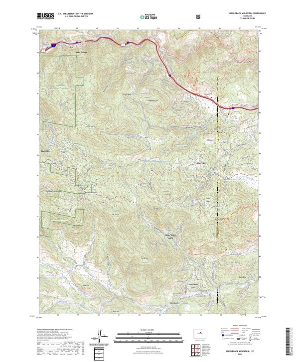
2023 Map of Saddleback Mountain
USGS Topo · Published 2023This historical map portrays the area of Saddleback Mountain in 2023, primarily covering Clear Creek County as well as portions of Jefferson County and Gilpin County. Featuring a scale of 1:24000, this map provides a highly detailed snapshot of the terrain, roads, buildings, counties, and historical landmarks in the Saddleback Mountain region at the time. Published in 2023, it is the sole known edition of this map.
Find a feature on this map
152 named features on this map. Tap any name to fly to it.
Don’t see what you’re looking for? This feature index may not catch every label — zoom into the map to look around manually.
Map Details
Editions of this 2023 Saddleback Mountain Map
This is the sole edition of this map. No revisions or reprints were ever made.
Historical Maps of Idaho Springs Through Time
10 maps found
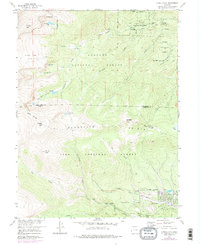
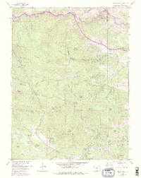
1957 Harris Park
Clear Creek County, CO
1957 Meridian Hill
Clear Creek County, CO
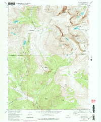
1957 Mt Evans
Clear Creek County, CO
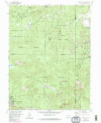
1957 Squaw Pass
Clear Creek County, CO
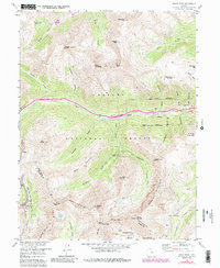
1958 Grays Peak
Clear Creek County, CO
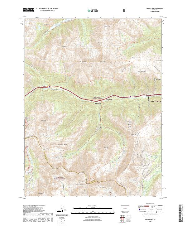
2022 Grays Peak
Clear Creek County, CO
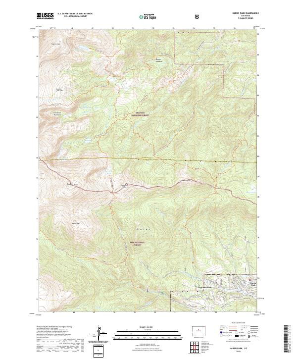
2022 Harris Park
Clear Creek County, CO
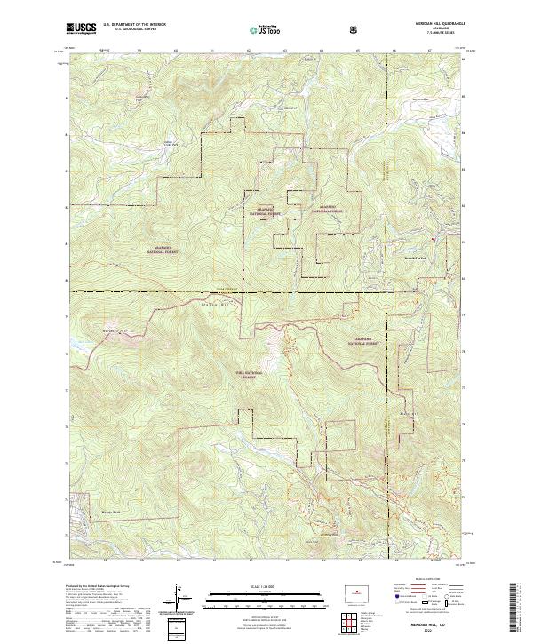
2022 Meridian Hill
Clear Creek County, CO
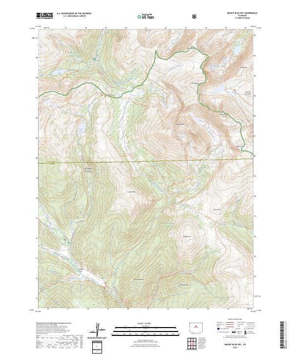
2023 Mount Blue Sky
Clear Creek County, CO
2023 Saddleback Mountain
Clear Creek County, CO