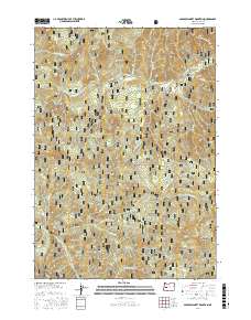
2017 Map of Saddleblanket Mountain
USGS Topo · Published 2017About this map
Saddleblanket Mountain and Winberry Mtn dominate this high-elevation terrain within the Willamette National Forest, where a complex network of forest development roads provides access to the steep drainage basins of the Cascade Range. The landscape is defined by the sharp vertical relief between the many tributary creeks and several prominent summits like Timber Butte and Clark Butte.
Find a feature on this map
39 named features on this map. Tap any name to fly to it.
Don’t see what you’re looking for? This feature index may not catch every label — zoom into the map to look around manually.
Map Details
Editions of this 2017 Saddleblanket Mountain Map
This is the sole edition of this map. No revisions or reprints were ever made.
Other maps of this area

1925 · Waldo Lake
USGS Topo · 1:125,000

1934 · Mc Kenzie Bridge
USGS Topo · 1:96,000

1935 · Lowell
USGS Topo · 1:96,000

1940 · Mc Kenzie Bridge
USGS Topo · 1:125,000

1942 · Lowell
USGS Topo · 1:125,000

1951 · Leaburg
USGS Topo · 1:62,500

1953 · Salem
USGS Topo · 1:250,000

1954 · Salem
USGS Topo · 1:250,000

1955 · Hardesty Mtn
USGS Topo · 1:62,500

1955 · Blue River
USGS Topo · 1:62,500