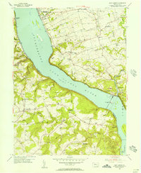
1955 Map of Safe Harbor
USGS Topo · Published 1956About this map
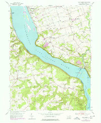
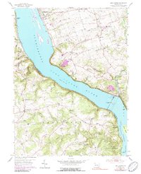
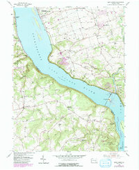
The Safe Harbor Dam and its adjacent Powerhouse dominate this mid-century landscape where the Susquehanna River widens into Lake Clarke. The engineering of the river valley is evident in the Sedimentation Basins and Tailings Pond that supported the hydroelectric infrastructure. On the eastern shore in Manor, rural life is documented through a high density of local institutions, including the Manor Meetinghouse, Stehman Ch, and the Creswell Sch.
Find a feature on this map
61 named features on this map. Tap any name to fly to it.
Don’t see what you’re looking for? This feature index may not catch every label — zoom into the map to look around manually.
Map Details
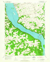
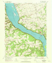
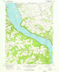
Editions of this 1955 Safe Harbor Map
7 editions found
Other maps of this area

1902 · Lancaster
USGS Topo · 1:62,500

1904 · Lancaster
USGS Topo · 1:62,500

1908 · Middletown
USGS Topo · 1:62,500

1908 · York
USGS Topo · 1:62,500

1910 · York
USGS Topo · 1:62,500

1912 · Mc Calls Ferry
USGS Topo · 1:62,500

1943 · Lancaster
USGS Topo · 1:62,500

1943 · Middletown
USGS Topo · 1:62,500

1943 · Mc Calls Ferry
USGS Topo · 1:62,500

1948 · Baltimore
USGS Topo · 1:250,000
Featured Places
- Conestoga Township, PA
- Martic Township, PA
- Manor Township, PA
- Lower Chanceford Township, PA
- Chanceford Township, PA