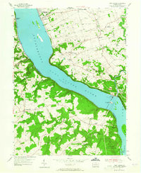
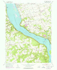
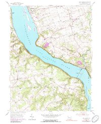
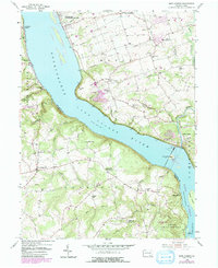
1955 Map of Safe Harbor
USGS Topo · Published 1965About this map
The Safe Harbor Dam and its expansive Powerhouse dominate this stretch of the Susquehanna River, marking a mid-century landscape defined by hydroelectric power and river-borne industry. North of the dam, the river widens into Lake Clarke, which separates the township of Manor in Lancaster County from Windsor in York County. The riverbank is navigated by the Pennsylvania RR, a vital artery for the region's transport network during the 1950s.
Find a feature on this map
65 named features on this map. Tap any name to fly to it.
Don’t see what you’re looking for? This feature index may not catch every label — zoom into the map to look around manually.
Map Details
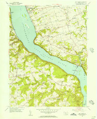
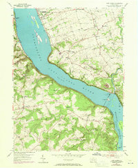
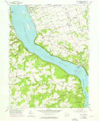
Editions of this 1955 Safe Harbor Map
7 editions found
Other maps of this area

1902 · Lancaster
USGS Topo · 1:62,500

1904 · Lancaster
USGS Topo · 1:62,500

1908 · Middletown
USGS Topo · 1:62,500

1908 · York
USGS Topo · 1:62,500

1910 · York
USGS Topo · 1:62,500

1912 · Mc Calls Ferry
USGS Topo · 1:62,500

1943 · Lancaster
USGS Topo · 1:62,500

1943 · Middletown
USGS Topo · 1:62,500

1943 · Mc Calls Ferry
USGS Topo · 1:62,500

1948 · Baltimore
USGS Topo · 1:250,000
Featured Places
- Conestoga Township, PA
- Martic Township, PA
- Manor Township, PA
- Lower Chanceford Township, PA
- Chanceford Township, PA