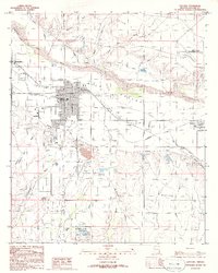
1985 Map of Safford
USGS Topo · Published 1986About this map
The Gila Valley serves as the agricultural and civic heart of this mid-1980s Arizona landscape, where an intricate network of irrigation systems like the Smithville Canal, Union Canal, and Highline Canal support the desert communities. Safford and Thatcher dominate the western portion of the map, showing established street grids and residential growth near the Gila River. The engineering of the valley is evident through numerous siphons and aqueducts that channel water across the arid Freeman Flat. To the south, Roper Lake State Park and the nearby Cactus Flat provide a recreation contrast to the working landscape of the Gravel Pit and the Safford Municipal Airport on the northeastern plateau. Smaller settlements like Solomon and Lone Star are situated along the river's path, marking the historic transition toward the San Simon Valley where Foote Draw meets the river's edge.
Find a feature on this map
40 named features on this map. Tap any name to fly to it.
Don’t see what you’re looking for? This feature index may not catch every label — zoom into the map to look around manually.
Map Details
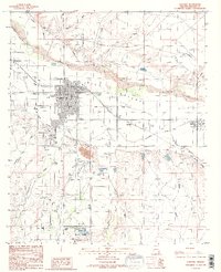
Editions of this 1985 Safford Map
2 editions found
Other maps of this area

1942 · Mt. Graham
USGS Topo · 1:62,500

1945 · Mt. Graham
USGS Topo · 1:62,500

1954 · Silver City
USGS Topo · 1:250,000

1958 · Silver City
USGS Topo · 1:250,000

1960 · Thatcher
USGS Topo · 1:62,500

1960 · Safford
USGS Topo · 1:62,500

1962 · Silver City
USGS Topo · 1:250,000
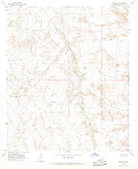
1966 · Artesia NE
USGS Topo · 1:24,000

1966 · Artesia
USGS Topo · 1:24,000
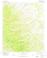
1972 · Mt. Graham
USGS Topo · 1:24,000