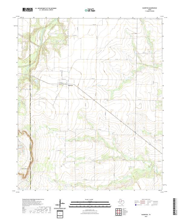
2022 Map of Sagerton
USGS Topo · Published 2022About this map
Sagerton anchors this rural landscape at the junction of several farm roads and county routes, including FM 1661, Garfield Ave, and Harrison Ave. The settlement is positioned near the dividing line of Stonewall and Haskell counties, where the high plains of West Texas begin to break into complex drainage patterns. The most prominent terrain feature, Flat Top Mtn, rises to the southwest, overlooking the winding path of Salt Br.
Find a feature on this map
45 named features on this map. Tap any name to fly to it.
Don’t see what you’re looking for? This feature index may not catch every label — zoom into the map to look around manually.
Map Details
Editions of this 2022 Sagerton Map
This is the sole edition of this map. No revisions or reprints were ever made.
Other maps of this area

1891 · Anson
USGS Topo · 1:125,000

1893 · Roby
USGS Topo · 1:125,000

1893 · Anson
USGS Topo · 1:125,000

1925 · Aspermont 4-a
USGS Topo · 1:48,000

1925 · Haskell 3-b
USGS Topo · 1:48,000

1931 · Aspermont
USGS Topo · 1:62,500

1954 · Lubbock
USGS Topo · 1:250,000

1954 · Big Spring
USGS Topo · 1:250,000

1954 · Abilene
USGS Topo · 1:250,000

1954 · Wichita Falls
USGS Topo · 1:250,000