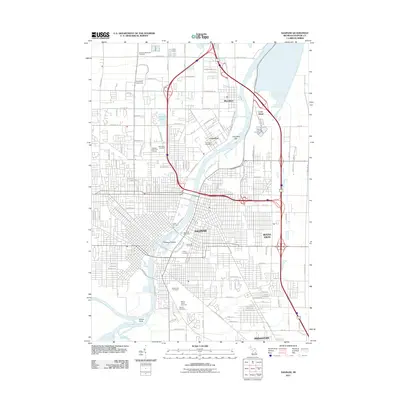
2011 Map of Saginaw
USGS Topo · Published 2011About this map
The Saginaw River serves as the central artery for this regional hub, where the confluence of the Shiawassee River, Cass River, and Tittabawassee River at Green Point creates a complex hydrologic landscape. The industrial and urban footprint of Saginaw is flanked by several distinct communities, including Zilwaukee, Carrollton, and Buena Vista. For researchers, the map reveals a significant concentration of burial grounds, ranging from the Indian Cemetery near the riverbanks to large memorial parks like Forest Lawn Cemetery and Mount Olivet Cemetery.
Find a feature on this map
71 named features on this map. Tap any name to fly to it.
Don’t see what you’re looking for? This feature index may not catch every label — zoom into the map to look around manually.
Map Details
Editions of this 2011 Saginaw Map
This is the sole edition of this map. No revisions or reprints were ever made.
Other maps of this area

1916 · Bay City
USGS Topo · 1:62,500

1917 · St. Charles
USGS Topo · 1:62,500

1919 · Bay City
USGS Topo · 1:62,500

1919 · Saginaw
USGS Topo · 1:62,500

1941 · Saginaw
USGS Topo · 1:62,500

1943 · Bay City
USGS Topo · 1:62,500

1943 · Saginaw
USGS Topo · 1:62,500

1943 · St. Charles
USGS Topo · 1:62,500

1954 · Midland
USGS Topo · 1:250,000

1954 · Flint
USGS Topo · 1:250,000
Featured Places
- Saginaw, MI
- Zilwaukee, MI
- Kochville Township, MI
- Saginaw Charter Township, MI
- Bridgeport Charter Township, MI