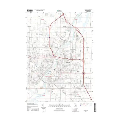
2014 Map of Saginaw
USGS Topo · Published 2014About this map
The Saginaw River dominates this Michigan landscape, winding north past the industrial and residential corridors of Saginaw, Zilwaukee, and Carrollton. This river-centric geography is defined by a series of landforms within the channel, including Carrollton Bar, Ojibway Island, and the larger Crow Island to the east. The map records a high density of civic and genealogical landmarks, particularly south of the city center where large sites like Forest Lawn Cem, Mt Olivet Cem, and Hebrew Cem are clustered near the banks of the Shiawassee River.
Find a feature on this map
40 named features on this map. Tap any name to fly to it.
Don’t see what you’re looking for? This feature index may not catch every label — zoom into the map to look around manually.
Map Details
Editions of this 2014 Saginaw Map
This is the sole edition of this map. No revisions or reprints were ever made.
Other maps of this area

1916 · Bay City
USGS Topo · 1:62,500

1917 · St. Charles
USGS Topo · 1:62,500

1919 · Bay City
USGS Topo · 1:62,500

1919 · Saginaw
USGS Topo · 1:62,500

1941 · Saginaw
USGS Topo · 1:62,500

1943 · Bay City
USGS Topo · 1:62,500

1943 · Saginaw
USGS Topo · 1:62,500

1943 · St. Charles
USGS Topo · 1:62,500

1954 · Midland
USGS Topo · 1:250,000

1954 · Flint
USGS Topo · 1:250,000
Featured Places
- Saginaw, MI
- Zilwaukee, MI
- Kochville Township, MI
- Saginaw Charter Township, MI
- Bridgeport Charter Township, MI