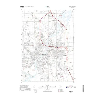
2019 Map of Saginaw
USGS Topo · Published 2019About this map
The Saginaw River forms the industrial and geographic spine of this region, where the confluence of the Tittabawassee River, Shiawassee River, and Cass River near Green Point creates a complex network of waterways. The urban landscape of Saginaw and Buena Vista is defined by a dense grid of residential streets and a strong rail presence, with CSX Transportation and the Lake State Railway servicing the riverfront corridors.
Find a feature on this map
155 named features on this map. Tap any name to fly to it.
Don’t see what you’re looking for? This feature index may not catch every label — zoom into the map to look around manually.
Map Details
Editions of this 2019 Saginaw Map
This is the sole edition of this map. No revisions or reprints were ever made.
Other maps of this area

1916 · Bay City
USGS Topo · 1:62,500

1917 · St. Charles
USGS Topo · 1:62,500

1919 · Bay City
USGS Topo · 1:62,500

1919 · Saginaw
USGS Topo · 1:62,500

1941 · Saginaw
USGS Topo · 1:62,500

1943 · Bay City
USGS Topo · 1:62,500

1943 · Saginaw
USGS Topo · 1:62,500

1943 · St. Charles
USGS Topo · 1:62,500

1954 · Midland
USGS Topo · 1:250,000

1954 · Flint
USGS Topo · 1:250,000
Featured Places
- Saginaw, MI
- Zilwaukee, MI
- Kochville Township, MI
- Saginaw Charter Township, MI
- Bridgeport Charter Township, MI