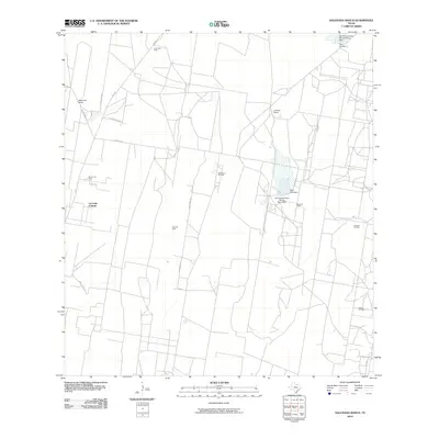
2010 Map of Sagunada Ranch
USGS Topo · Published 2010About this map
La Carla Colonia and nearby ranching operations define this stretch of the South Texas brush country during the early 21st century. The landscape is characterized by a sprawling network of energy extraction sites, including the Barbacoas Oil Field, Remco Oil Field, and Janal Gas Field. These industrial features are interspersed with private holdings such as Sagunada Ranch and La Brisa Ranch, reflecting the dual economic drivers of ranching and petroleum in Starr County.
Find a feature on this map
21 named features on this map. Tap any name to fly to it.
Don’t see what you’re looking for? This feature index may not catch every label — zoom into the map to look around manually.
Map Details
Editions of this 2010 Sagunada Ranch Map
This is the sole edition of this map. No revisions or reprints were ever made.
Other maps of this area

1938 · El Sauz
USGS Topo · 1:62,500

1938 · Sal Colorada
USGS Topo · 1:62,500

1949 · Mc Allen
USGS Topo · 1:250,000

1954 · McAllen
USGS Topo · 1:250,000

1956 · Garcias
USGS Topo · 1:62,500

1956 · Escobares
USGS Topo · 1:62,500

1957 · Mc Allen
USGS Topo · 1:250,000

1962 · McAllen
USGS Topo · 1:250,000

1965 · Rio Grande City South
USGS Topo · 1:24,000

1965 · La Grulla
USGS Topo · 1:24,000