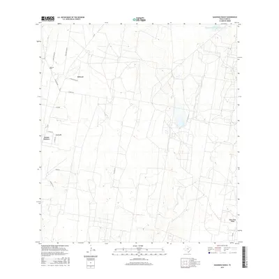
2016 Map of Sagunada Ranch
USGS Topo · Published 2016About this map
The arid landscape of Starr County, Texas, is defined by large ranching tracts and modern colonia developments in this 2016 survey. Private landholdings like Sagunada Ranch and El Brazil occupy the northern reaches of the quadrangle, where a network of unpaved roads and lanes, such as Wood Brothers Rd and El Brazil Ranch Ln, navigate the rolling terrain. Water management is critical in this environment, evidenced by the Soil Conservation Service Site 3 Reservoir in the northeast.
Find a feature on this map
18 named features on this map. Tap any name to fly to it.
Don’t see what you’re looking for? This feature index may not catch every label — zoom into the map to look around manually.
Map Details
Editions of this 2016 Sagunada Ranch Map
This is the sole edition of this map. No revisions or reprints were ever made.
Other maps of this area

1938 · El Sauz
USGS Topo · 1:62,500

1938 · Sal Colorada
USGS Topo · 1:62,500

1949 · Mc Allen
USGS Topo · 1:250,000

1954 · McAllen
USGS Topo · 1:250,000

1956 · Garcias
USGS Topo · 1:62,500

1956 · Escobares
USGS Topo · 1:62,500

1957 · Mc Allen
USGS Topo · 1:250,000

1962 · McAllen
USGS Topo · 1:250,000

1965 · Rio Grande City South
USGS Topo · 1:24,000

1965 · La Grulla
USGS Topo · 1:24,000