Loading...
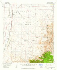
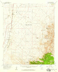
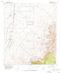
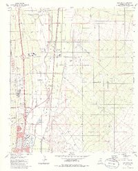
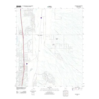
Loading map...1958 Map of Sahuarita
USGS Topo · Published 1961About this map
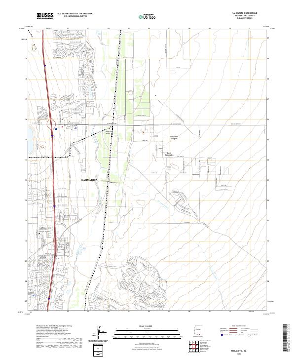
The Santa Cruz River valley south of Tucson reveals a landscape defined by ranching, mining, and military utility during the late 1950s. At the heart of the region, Sahuarita and Continental serve as the primary hubs of settlement along the highway and rail corridor. To the east, the rugged foothills of the Santa Rita Mountains harbor the legacy of the copper industry at Helvetia, where a Cem stands as a quiet marker of the community's early residents.
Find a feature on this map
9 named features on this map. Tap any name to fly to it.
Don’t see what you’re looking for? This feature index may not catch every label — zoom into the map to look around manually.
Map Details
Date Portrayed1958
Date Published1961
PublisherU.S. Geological Survey
Map TypeTopographic
Scale1:62,500
Physical Dimensions16.9 x 20.9 inches
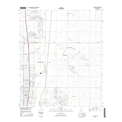
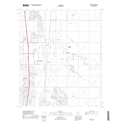
Editions of this 1958 Sahuarita Map
3 editions found
Historical Maps of Tucson Through Time
6 maps found
Featured Locations
Source Details
SourceU.S. Geological Survey
CopyrightPublic Domain