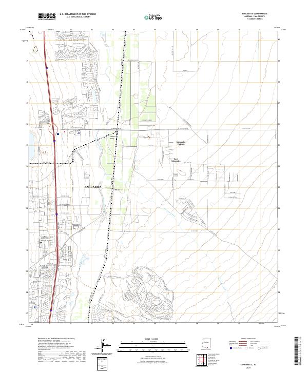
2021 Map of Sahuarita
USGS Topo · Published 2021About this map
The Sahuarita region of Pima County is centered along the winding course of the Santa Cruz River as it flows through the Santa Cruz Valley. This 2021 survey shows a landscape defined by significant modern residential expansion, particularly in the northern reaches where an intricate network of streets such as W Cam Rancheria and S Rancho Sahuarita Bl indicates the growth of planned communities. These newer developments contrast with established areas like East Sahuarita and Sahuarita Heights. The presence of the Duval settlement and the W Sahuarita Center serve as focal points for local administration and commerce. To the south, the Green Valley Mortuary and Memorial Gardens provides a landmark for genealogical interest, while the natural drainage of Box Canyon Wash cuts through the desert terrain to the east.
Find a feature on this map
155 named features on this map. Tap any name to fly to it.
Don’t see what you’re looking for? This feature index may not catch every label — zoom into the map to look around manually.
Map Details
Editions of this 2021 Sahuarita Map
This is the sole edition of this map. No revisions or reprints were ever made.
Other maps of this area

1904 · Patagonia
USGS Topo · 1:125,000

1904 · Tucson
USGS Topo · 1:125,000

1905 · Patagonia
USGS Topo · 1:125,000

1905 · Tucson
USGS Topo · 1:125,000

1920 · Arivaca
USGS Topo · 1:125,000

1925 · Samaniego Peak
USGS Topo · 1:62,500

1925 · San Xavier
USGS Topo · 1:62,500

1926 · Helvetia
USGS Topo · 1:62,500

1934 · Tucson Mountains
USGS Topo · 1:125,000

1939 · Twin Buttes
USGS Topo · 1:62,500