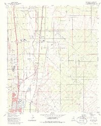
1981 Map of Sahuarita
USGS Topo · Published 1986About this map
The Santa Cruz Valley defines the landscape of this region, where the Santa Cruz River and the Southern Pacific railroad corridor dictate the layout of industrial and residential growth. This 1980s era perspective shows Sahuarita and Green Valley as they began to expand around established infrastructure like the Sahuarita High Sch and Anamax Park. The map documents a complex land-use pattern, ranging from the residential blocks of Sahuarita Heights and Rita to the extensive industrial operations at Duval and various mining sites such as the Borrow Pit and Gravel Pit.
Find a feature on this map
37 named features on this map. Tap any name to fly to it.
Don’t see what you’re looking for? This feature index may not catch every label — zoom into the map to look around manually.
Map Details
Editions of this 1981 Sahuarita Map
2 editions found
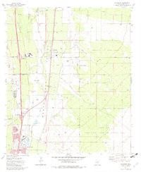
Other maps of this area

1904 · Patagonia
USGS Topo · 1:125,000

1904 · Tucson
USGS Topo · 1:125,000

1905 · Patagonia
USGS Topo · 1:125,000

1905 · Tucson
USGS Topo · 1:125,000

1920 · Arivaca
USGS Topo · 1:125,000

1925 · Samaniego Peak
USGS Topo · 1:62,500

1925 · San Xavier
USGS Topo · 1:62,500

1926 · Helvetia
USGS Topo · 1:62,500

1934 · Tucson Mountains
USGS Topo · 1:125,000

1939 · Twin Buttes
USGS Topo · 1:62,500