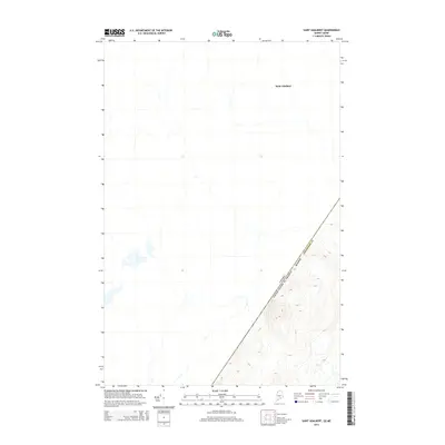
2014 Map of Saint Adalbert
USGS Topo · Published 2014About this map
Saint Adalbert stands at the heart of this international borderlands survey, where the northern forest meets the geopolitical boundary between Quebec and the United States of America. The landscape is dominated by the diagonal line separating Canada from Maine, specifically the northwestern corner of Aroostook Co. This 2014 representation reveals a region defined by its hydrography and topography rather than dense settlement, highlighting the winding stream networks and significant elevation contours that define the Saint Lawrence and Atlantic watersheds. The proximity of the border to the village of Saint Adalbert underscores the historical and modern connectivity between these two nations in a remote timber-and-agricultural region.
Find a feature on this map
2 named features on this map. Tap any name to fly to it.
Don’t see what you’re looking for? This feature index may not catch every label — zoom into the map to look around manually.
Map Details
Editions of this 2014 Saint Adalbert Map
This is the sole edition of this map. No revisions or reprints were ever made.
Other maps of this area

1954 · Presque Isle
USGS Topo · 1:250,000

1955 · Depot Lake
USGS Topo · 1:62,500

1955 · Beaver Pond
USGS Topo · 1:62,500

1958 · Presque Isle
USGS Topo · 1:250,000

1960 · Presque Isle
USGS Topo · 1:250,000

1962 · Quebec
USGS Topo · 1:250,000

1976 · Depot Lake
USGS Topo · 1:24,000
1976 · St. Pamphile
USGS Topo · 1:24,000
1977 · St. Adalbert
USGS Topo · 1:24,000
1977 · Burntland Pond
USGS Topo · 1:24,000