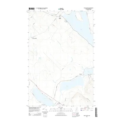
2014 Map of Saint Agatha
USGS Topo · Published 2014About this map
Saint Agatha and its neighboring lakeside communities define the landscape of northern Aroostook County in this 2014 survey. This region, characterized by its French Acadian heritage, is centered around the expansive waters of Long Lake and Cross Lake. The map details the local road network connecting small settlements like Sinclair, Guerette, and the former industrial site of Carriveau Mill.
Find a feature on this map
42 named features on this map. Tap any name to fly to it.
Don’t see what you’re looking for? This feature index may not catch every label — zoom into the map to look around manually.
Map Details
Editions of this 2014 Saint Agatha Map
This is the sole edition of this map. No revisions or reprints were ever made.
Other maps of this area

1927 · Stockholm
USGS Topo · 1:48,000

1927 · Square Lake
USGS Topo · 1:48,000

1931 · Square Lake
USGS Topo · 1:62,500

1931 · Stockholm
USGS Topo · 1:62,500

1932 · Frenchville
USGS Topo · 1:48,000

1935 · Frenchville
USGS Topo · 1:62,500

1938 · Grand Isle
USGS Topo · 1:62,500

1940 · Grand Isle
USGS Topo · 1:62,500

1953 · Stockholm
USGS Topo · 1:62,500

1953 · Square Lake
USGS Topo · 1:62,500
Featured Places
- Madawaska, ME
- Saint Agatha, ME
- Cross Lake Township, ME
- Sinclair Township, ME
- Guerette, Cross Lake Township