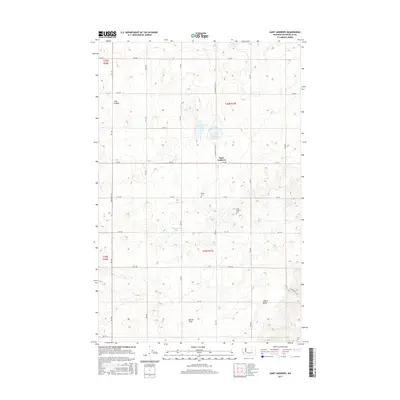
2017 Map of Saint Andrews
USGS Topo · Published 2017About this map
Saint Andrews sits at the center of this high-plateau landscape in Douglas County, where the topography is defined by a series of shallow basins and depressions that form seasonal or permanent water bodies like Tub Springs Lake, Stallard Lake, and Haynes Lake. The settlement pattern follows a rigid north-south and east-west grid of rural roads, such as St Andrews N Rd NE and Heritage Rd NE, typical of the Columbia Basin's agricultural development. Historical continuity is marked by the presence of the Saint Andrews Cem and the Danish Cem, which anchor the local genealogical record. To the south, the terrain becomes more varied as the flatlands give way to Burton Draw and the prominent rise of Gilbert Butte, providing a distinct contrast to the northern canyon-etched plains near Long Canyon.
Find a feature on this map
33 named features on this map. Tap any name to fly to it.
Don’t see what you’re looking for? This feature index may not catch every label — zoom into the map to look around manually.
Map Details
Editions of this 2017 Saint Andrews Map
This is the sole edition of this map. No revisions or reprints were ever made.
Other maps of this area

1930 · Grand Coulee Sheet 3
USGS Topo · 1:31,680

1953 · Ritzville
USGS Topo · 1:250,000

1959 · Ritzville
USGS Topo · 1:250,000

1965 · Ritzville
USGS Topo · 1:250,000

1965 · Jameson Lake SE
USGS Topo · 1:24,000

1965 · St. Andrews
USGS Topo · 1:24,000

1965 · Jameson Lake East
USGS Topo · 1:24,000

1965 · Mold
USGS Topo · 1:24,000
1965 · Park Lake
USGS Topo · 1:24,000

1965 · Coulee City
USGS Topo · 1:24,000