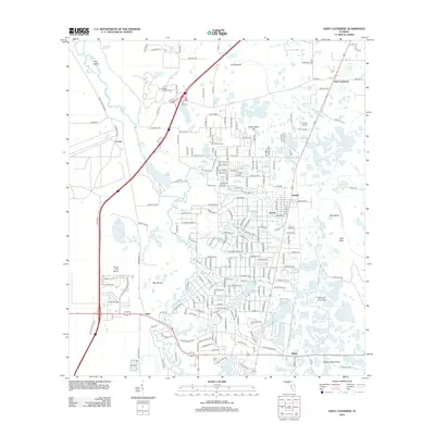
2012 Map of Saint Catherine
USGS Topo · Published 2012About this map
Florida National Cem and the Wild Cow Cem define the northern landscape of this region, which is deeply marked by the hydrology of the Withlacoochee River and its southern tributary, the Little Withlacoochee River. The map reveals a transition between the dense residential street networks of modern subdivisions like those near Rital and the vast, open wetland prairies of Bird Prairie and Island Prairie Pond.
Find a feature on this map
170 named features on this map. Tap any name to fly to it.
Don’t see what you’re looking for? This feature index may not catch every label — zoom into the map to look around manually.
Map Details
Editions of this 2012 Saint Catherine Map
This is the sole edition of this map. No revisions or reprints were ever made.
Other maps of this area

1954 · Spring Lake
USGS Topo · 1:24,000

1954 · Nobleton
USGS Topo · 1:24,000

1954 · Brooksville SE
USGS Topo · 1:24,000

1955 · Plant City
USGS Topo · 1:250,000

1958 · Plant City
USGS Topo · 1:250,000

1958 · Webster
USGS Topo · 1:24,000

1958 · Bushnell
USGS Topo · 1:24,000

1958 · Wahoo
USGS Topo · 1:24,000

1958 · Saint Catherine
USGS Topo · 1:24,000

1959 · Plant City
USGS Topo · 1:250,000