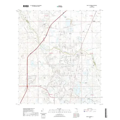
2018 Map of Saint Catherine
USGS Topo · Published 2018About this map
The Florida National Cem and Wild Cow Prairie Cem sit amidst a complex landscape of wetlands and prairies along the Hernando and Sumter County border. This part of central Florida is defined by its hydrography, where the Little Withlacoochee River and Gant Lake Canal drain numerous sinks and ponds, such as Corbett Sink and Blue Sink. Small settlements like Croom, Rerdell, and Saint-Catherine are connected by a network of local roads and the CSX Transportation line.
Find a feature on this map
217 named features on this map. Tap any name to fly to it.
Don’t see what you’re looking for? This feature index may not catch every label — zoom into the map to look around manually.
Map Details
Editions of this 2018 Saint Catherine Map
This is the sole edition of this map. No revisions or reprints were ever made.
Other maps of this area

1954 · Spring Lake
USGS Topo · 1:24,000

1954 · Nobleton
USGS Topo · 1:24,000

1954 · Brooksville SE
USGS Topo · 1:24,000

1955 · Plant City
USGS Topo · 1:250,000

1958 · Plant City
USGS Topo · 1:250,000

1958 · Webster
USGS Topo · 1:24,000

1958 · Bushnell
USGS Topo · 1:24,000

1958 · Wahoo
USGS Topo · 1:24,000

1958 · Saint Catherine
USGS Topo · 1:24,000

1959 · Plant City
USGS Topo · 1:250,000