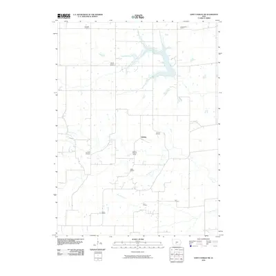
2010 Map of Saint Charles NW
USGS Topo · Published 2010About this map
The McBride Covered Bridge spans the landscape of Madison and Warren counties, serving as a focal point for this agrarian region southwest of the Des Moines metro. The settlement of McBride sits near the center of a well-defined drainage network where the North River and its tributaries, including the North Branch and North Elm Creek, carve through the rolling farmland. This 2010 survey reflects a deeply rooted community, documented through a high density of family and denominational burial grounds. Genealogists can find significant local history at the Blue Ridge Cemetery, United Brethren Cemetery, German Lutheran Cemetery, and Jefferson Cemetery, among others. The presence of Miller Bridge and the horticultural site at Groth's Gardens further characterizes the rural development of the area, while the waters of Badger Creek and Cedar Creek define the broader natural boundaries of the quadrangle.
Find a feature on this map
17 named features on this map. Tap any name to fly to it.
Don’t see what you’re looking for? This feature index may not catch every label — zoom into the map to look around manually.
Map Details
Editions of this 2010 Saint Charles NW Map
This is the sole edition of this map. No revisions or reprints were ever made.
Other maps of this area

1908 · Waukee
USGS Topo · 1:62,500

1949 · Adel
USGS Topo · 1:62,500

1951 · Adel
USGS Topo · 1:62,500

1951 · St. Charles
USGS Topo · 1:62,500

1952 · Winterset
USGS Topo · 1:62,500

1954 · Omaha
USGS Topo · 1:250,000

1954 · Des Moines
USGS Topo · 1:250,000

1956 · Des Moines
USGS Topo · 1:250,000

1957 · Des Moines
USGS Topo · 1:250,000

1957 · Omaha
USGS Topo · 1:250,000