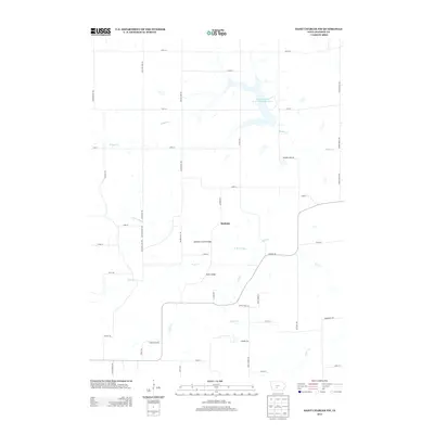
2013 Map of Saint Charles NW
USGS Topo · Published 2013About this map
McBride serves as a central point of this Madison County landscape, where the rural character of the early 21st century is defined by the convergence of several waterways. The area is marked by significant river crossings, including the McBride Covered Bridge and the Miller Bridge, which span the N Br N River and its various tributaries. These structures, along with the nearby Badger Creek State Recreation Area and its large reservoir, reflect a region where managed water resources and historical transportation markers coexist. Further south, the terrain transitions into agricultural and specialized land use, noted by the presence of Groth's Gardens. The mapping of local drainage systems like N Elm Cr and Cedar Cr provides a clear view of the hydrological network that shaped the settlement patterns of this central Iowa territory.
Find a feature on this map
49 named features on this map. Tap any name to fly to it.
Don’t see what you’re looking for? This feature index may not catch every label — zoom into the map to look around manually.
Map Details
Editions of this 2013 Saint Charles NW Map
This is the sole edition of this map. No revisions or reprints were ever made.
Other maps of this area

1908 · Waukee
USGS Topo · 1:62,500

1949 · Adel
USGS Topo · 1:62,500

1951 · Adel
USGS Topo · 1:62,500

1951 · St. Charles
USGS Topo · 1:62,500

1952 · Winterset
USGS Topo · 1:62,500

1954 · Omaha
USGS Topo · 1:250,000

1954 · Des Moines
USGS Topo · 1:250,000

1956 · Des Moines
USGS Topo · 1:250,000

1957 · Des Moines
USGS Topo · 1:250,000

1957 · Omaha
USGS Topo · 1:250,000