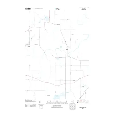
2013 Map of Saint Cloud
USGS Topo · Published 2013About this map
The Sheboygan River winds through the heart of this landscape, anchoring a network of small settlements including Saint Cloud and Mount Calvary. This part of Sheboygan County is defined by its glacial hydrology, where water bodies like Wolf Lake, Giltners Lake, and Paulys Lake dot the terrain alongside the southern reaches of the Mullet River. The map reveals a transition from these natural basins to managed water systems, notably at the Mullet Marsh 15 Reservoir.
Find a feature on this map
56 named features on this map. Tap any name to fly to it.
Don’t see what you’re looking for? This feature index may not catch every label — zoom into the map to look around manually.
Map Details
Editions of this 2013 Saint Cloud Map
This is the sole edition of this map. No revisions or reprints were ever made.
Other maps of this area

1910 · Fond du Lac
USGS Topo · 1:62,500

1954 · Kiel
USGS Topo · 1:62,500

1955 · Campbellsport
USGS Topo · 1:62,500

1955 · Kewaskum
USGS Topo · 1:62,500

1955 · Fond Du Lac
USGS Topo · 1:62,500

1957 · Madison
USGS Topo · 1:250,000

1960 · Madison
USGS Topo · 1:250,000

1974 · St. Cloud
USGS Topo · 1:24,000
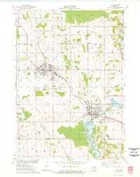
1974 · Kiel
USGS Topo · 1:24,000
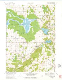
1974 · Elkhart Lake
USGS Topo · 1:24,000