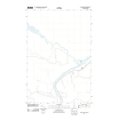
2011 Map of Saint Francis
USGS Topo · Published 2011About this map
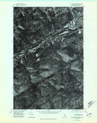
Saint Francis sits at the confluence of the Saint John River and Petite Brook, serving as a primary settlement on the northern border between Maine and New Brunswick. The landscape is defined by the significant waterway of the St. John, which hosts Grew Island and receives numerous tributaries including Falls Brook and Rankin Brook. This early 21st-century survey shows a settlement pattern concentrated along the river valley, where roads like Nadeau Farm Rd and Dump Rd branch off the main thoroughfare. The terrain away from the river is dominated by brook drainages such as Musket Brook and Bass Brook, illustrating the timber-rich, water-carved geography of northern Aroostook County. Local infrastructure is noted through residential and rural routes like Pine Grv and Sunset Dr, which frame the community's modern layout.
Find a feature on this map
17 named features on this map. Tap any name to fly to it.
Don’t see what you’re looking for? This feature index may not catch every label — zoom into the map to look around manually.
Map Details
Editions of this 2011 Saint Francis Map
This is the sole edition of this map. No revisions or reprints were ever made.
Other maps of this area

1930 · Allagash
USGS Topo · 1:48,000

1930 · St Francis
USGS Topo · 1:48,000

1933 · Allagash
USGS Topo · 1:62,500

1933 · St Francis
USGS Topo · 1:62,500

1955 · Beau Lake
USGS Topo · 1:62,500

1962 · Edmundston
USGS Topo · 1:250,000
1975 · St Francis SW
USGS Topo · 1:24,000
1975 · St Francis NW
USGS Topo · 1:24,000
1975 · St Francis SE
USGS Topo · 1:24,000
1975 · St Francis NE
USGS Topo · 1:24,000