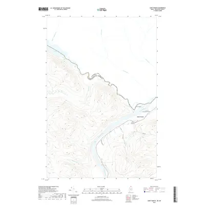
2018 Map of Saint Francis
USGS Topo · Published 2018About this map
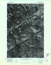
Saint Francis sits at the northern edge of Maine, where the Saint Francis River flows from the Canadian border to meet the Saint John River. This international boundary defines the northern and western margins of the map, separating the United States from Canada along the winding river courses. The settlement is anchored by a local Po and historical sites of interest to genealogists, including the Old Saint Charles Cem and the Saint Pauls Congregational Cem located near the riverbank.
Find a feature on this map
22 named features on this map. Tap any name to fly to it.
Don’t see what you’re looking for? This feature index may not catch every label — zoom into the map to look around manually.
Map Details
Editions of this 2018 Saint Francis Map
This is the sole edition of this map. No revisions or reprints were ever made.
Other maps of this area

1930 · Allagash
USGS Topo · 1:48,000

1930 · St Francis
USGS Topo · 1:48,000

1933 · Allagash
USGS Topo · 1:62,500

1933 · St Francis
USGS Topo · 1:62,500

1955 · Beau Lake
USGS Topo · 1:62,500

1962 · Edmundston
USGS Topo · 1:250,000
1975 · St Francis SW
USGS Topo · 1:24,000
1975 · St Francis NW
USGS Topo · 1:24,000
1975 · St Francis SE
USGS Topo · 1:24,000
1975 · St Francis NE
USGS Topo · 1:24,000