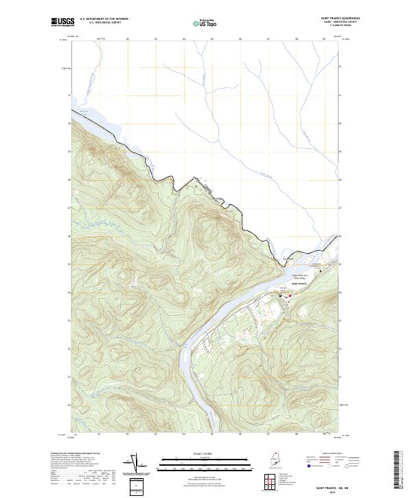
2024 Map of Saint Francis
USGS Topo · Published 2024About this map
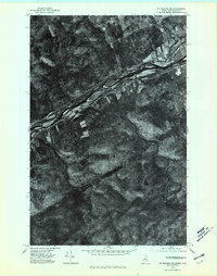
The Upper Saint John River Valley serves as a natural international boundary, where the Saint John River and Saint Francis River meet at the border between Maine and Canada. The settlement of Saint Francis centers near the river junction, clustered along Main St. This landscape is defined by its deep river valleys and numerous tributary brooks, such as English Touladi Brook, Falls Brook, and Petite Brook, which drain the surrounding timbered uplands into the main river channel. Genealogists can identify key community landmarks like the Saint Pauls Congregational church and its associated Saint Pauls Congregational Cem, alongside the Old Saint Charles Cem. The presence of Rankin Rapids and Grey Island highlights the traditional importance of river navigation and geography in this northern Aroostook County borderland.
Find a feature on this map
24 named features on this map. Tap any name to fly to it.
Don’t see what you’re looking for? This feature index may not catch every label — zoom into the map to look around manually.
Map Details
Editions of this 2024 Saint Francis Map
This is the sole edition of this map. No revisions or reprints were ever made.
Other maps of this area

1930 · Allagash
USGS Topo · 1:48,000

1930 · St Francis
USGS Topo · 1:48,000

1933 · Allagash
USGS Topo · 1:62,500

1933 · St Francis
USGS Topo · 1:62,500

1955 · Beau Lake
USGS Topo · 1:62,500

1962 · Edmundston
USGS Topo · 1:250,000
1975 · St Francis SW
USGS Topo · 1:24,000
1975 · St Francis NW
USGS Topo · 1:24,000
1975 · St Francis SE
USGS Topo · 1:24,000
1975 · St Francis NE
USGS Topo · 1:24,000