2022 Map of Saint Francis
USGS Topo · Published 2022About this map
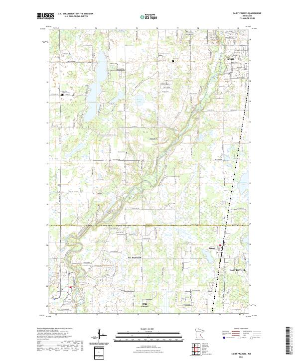
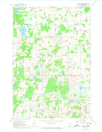
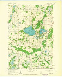
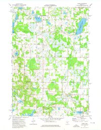
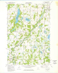
Rum River winds through the heart of this landscape, crossing the boundary between Isanti Co and Anoka Co. This corridor is defined by the growth of established communities like St. Francis, Bethel, and Isanti, which serve as anchors for the surrounding rural residential networks. The geography is punctuated by significant water bodies, including Long Lake, Marget Lake, and Smith Lake, which have influenced the local road patterns and land use. For those tracing family histories or local heritage, the map identifies several key burial grounds, such as Saint John's German Lutheran Cem and Stanford Cem. The transition from the more developed blocks in East Bethel to the open areas of Oak Grove illustrates the diverse settlement patterns in this part of Minnesota.
Find a feature on this map
141 named features on this map. Tap any name to fly to it.
Don’t see what you’re looking for? This feature index may not catch every label — zoom into the map to look around manually.
Map Details
Editions of this 2022 Saint Francis Map
This is the sole edition of this map. No revisions or reprints were ever made.
Historical Maps of Isanti Through Time
15 maps found
1961 Bradford
Isanti County, MN
1961 Dalbo
Isanti County, MN
1961 Dalbo
Isanti County, MN
1961 Springvale
Isanti County, MN
1961 Wyanett
Isanti County, MN
1974 Crown
Isanti County, MN
1974 St Francis
Isanti County, MN
1974 Typo Lake
Isanti County, MN
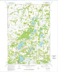
2022 Bradford
Isanti County, MN
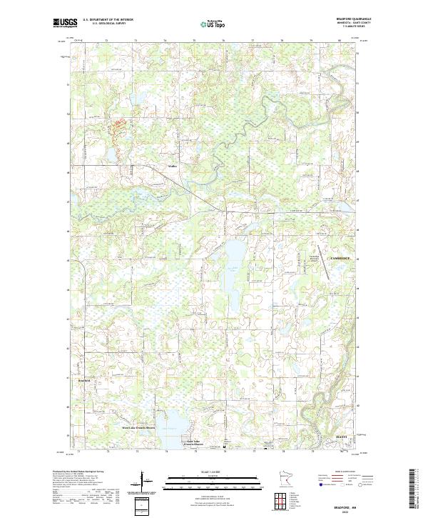
2022 Crown
Isanti County, MN
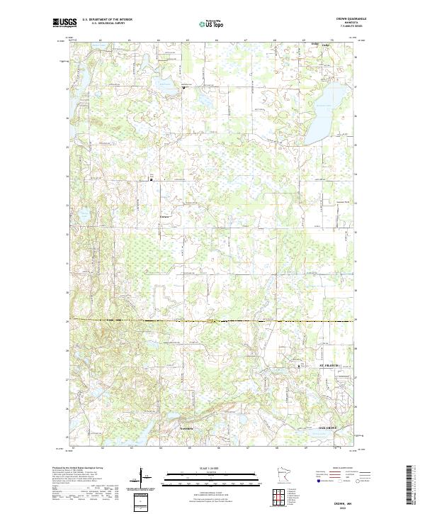
2022 Dalbo
Isanti County, MN
2022 Saint Francis
Isanti County, MN
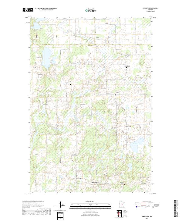
2022 Springvale
Isanti County, MN
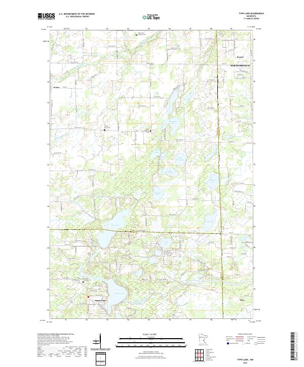
2022 Typo Lake
Isanti County, MN
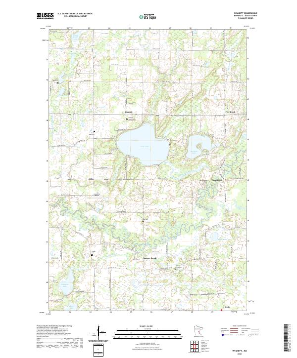
2022 Wyanett
Isanti County, MN