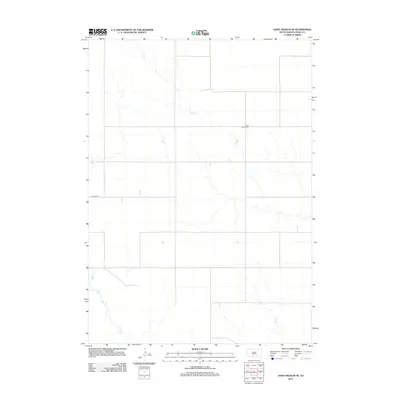
2012 Map of Saint Francis SE
USGS Topo · Published 2012About this map
The Pure Water Cem is a prominent cultural landmark on this landscape in Todd County, providing a specific point of interest for genealogists and local historians tracking family roots in the region. This portion of the Saint Francis SE area is defined by a sparse network of roads and drainages, most notably Nolette Rd, which traverses the central section. The terrain is marked by the intermittent paths of Dry Cr and Bull Cr, which meander through the prairie landscape. These features reflect the semi-arid nature of the region, where water sources are vital to the local geography. The map provides a clear view of the rural infrastructure and natural drainage patterns as they existed in the early 21st century, documented before any further modern development altered these traditional boundaries.
Find a feature on this map
4 named features on this map. Tap any name to fly to it.
Don’t see what you’re looking for? This feature index may not catch every label — zoom into the map to look around manually.
Map Details
Editions of this 2012 Saint Francis SE Map
This is the sole edition of this map. No revisions or reprints were ever made.
Other maps of this area

1950 · Kilgore
USGS Topo · 1:62,500

1950 · Valentine
USGS Topo · 1:62,500

1955 · Martin
USGS Topo · 1:250,000

1957 · Valentine
USGS Topo · 1:250,000

1958 · Martin
USGS Topo · 1:250,000

1959 · Valentine
USGS Topo · 1:250,000

1969 · Olsonville NW
USGS Topo · 1:24,000

1969 · Rosebud
USGS Topo · 1:24,000

1969 · St. Francis SW
USGS Topo · 1:24,000

1969 · Olsonville SW
USGS Topo · 1:24,000