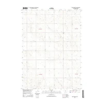
2015 Map of Saint Francis SE
USGS Topo · Published 2015About this map
Pure Water Cem stands as a quiet cultural landmark in this section of the Great Plains, located near the intersection of Cr-505 and 267th Ave. The landscape is defined by the ephemeral drainage patterns of Dry Cr and Bull Cr, which carve subtle topography through the township and range divisions of Todd County. This 2015 survey illustrates a rural infrastructure built on a strict section-line grid, where roads like 299th St and 300th St provide the primary framework for movement across the open terrain. The lack of concentrated settlements highlights the area's agricultural and ranching character, while the presence of established cemetery grounds provides a tangible link for genealogists studying the local families of the Rosebud Indian Reservation region.
Find a feature on this map
19 named features on this map. Tap any name to fly to it.
Don’t see what you’re looking for? This feature index may not catch every label — zoom into the map to look around manually.
Map Details
Editions of this 2015 Saint Francis SE Map
This is the sole edition of this map. No revisions or reprints were ever made.
Other maps of this area

1950 · Kilgore
USGS Topo · 1:62,500

1950 · Valentine
USGS Topo · 1:62,500

1955 · Martin
USGS Topo · 1:250,000

1957 · Valentine
USGS Topo · 1:250,000

1958 · Martin
USGS Topo · 1:250,000

1959 · Valentine
USGS Topo · 1:250,000

1969 · Olsonville NW
USGS Topo · 1:24,000

1969 · Rosebud
USGS Topo · 1:24,000

1969 · St. Francis SW
USGS Topo · 1:24,000

1969 · Olsonville SW
USGS Topo · 1:24,000