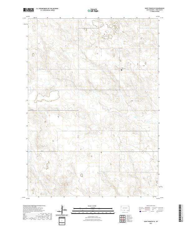
2021 Map of Saint Francis SE
USGS Topo · Published 2021About this map
Pure Water Cem sits as a solitary landmark in this section of Todd County, marking the cultural footprint of the rural landscape near the meeting of T36N R30W and T36N R29W. The geography is defined by the ephemeral drainage patterns of Dry Cr and Bull Cr, which carve subtle paths through the terrain. A sparse grid of section roads like Nolette Rd, 265th St, and 297th Ave provides the primary infrastructure across this expansive prairie setting. This 2021 survey by the U.S. Geological Survey illustrates the modern configuration of range lines and land management in the Saint Francis SE area, emphasizing the persistent rural character where small cemeteries and intermittent watercourses remain the most significant features of the land.
Find a feature on this map
12 named features on this map. Tap any name to fly to it.
Don’t see what you’re looking for? This feature index may not catch every label — zoom into the map to look around manually.
Map Details
Editions of this 2021 Saint Francis SE Map
This is the sole edition of this map. No revisions or reprints were ever made.
Other maps of this area

1950 · Kilgore
USGS Topo · 1:62,500

1950 · Valentine
USGS Topo · 1:62,500

1955 · Martin
USGS Topo · 1:250,000

1957 · Valentine
USGS Topo · 1:250,000

1958 · Martin
USGS Topo · 1:250,000

1959 · Valentine
USGS Topo · 1:250,000

1969 · Olsonville NW
USGS Topo · 1:24,000

1969 · Rosebud
USGS Topo · 1:24,000

1969 · St. Francis SW
USGS Topo · 1:24,000

1969 · Olsonville SW
USGS Topo · 1:24,000