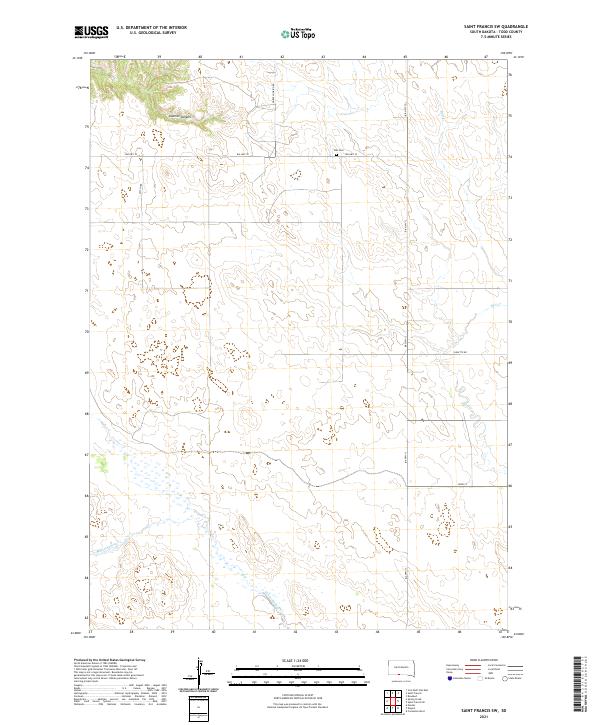
2021 Map of Saint Francis SW
USGS Topo · Published 2021About this map
Star Cem sits atop the high ground between the drainage basins of Bull Cr and Minnechaduza Cr, serving as a central landmark in this portion of the Rosebud Indian Reservation. The landscape is defined by the incision of Sawmill Canyon to the north and the sprawling network of Bureau of Indian Affairs routes, including Bia Hwy 30 and Bia Hwy 13, which provide the primary framework for movement across the plains.
Find a feature on this map
14 named features on this map. Tap any name to fly to it.
Don’t see what you’re looking for? This feature index may not catch every label — zoom into the map to look around manually.
Map Details
Editions of this 2021 Saint Francis SW Map
This is the sole edition of this map. No revisions or reprints were ever made.
Other maps of this area

1950 · Kilgore
USGS Topo · 1:62,500

1950 · Cody
USGS Topo · 1:62,500

1955 · Martin
USGS Topo · 1:250,000

1957 · Valentine
USGS Topo · 1:250,000

1958 · Martin
USGS Topo · 1:250,000

1959 · Valentine
USGS Topo · 1:250,000

1969 · Iron Shell Flat East
USGS Topo · 1:24,000

1969 · Rosebud
USGS Topo · 1:24,000

1969 · Spring Creek
USGS Topo · 1:24,000

1969 · St. Francis SW
USGS Topo · 1:24,000
Featured Places
- St. Francis Segment, SD
- Spring Creek Segment, SD
- Spring Creek, Spring Creek Segment
- Todd County, SD
- United States