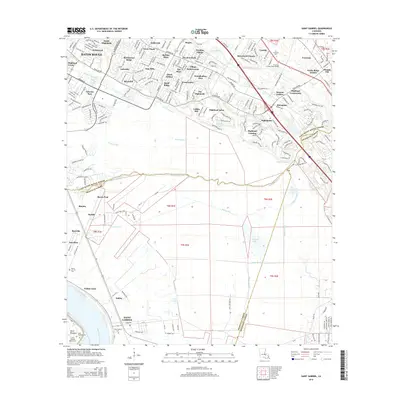
2015 Map of Saint Gabriel
USGS Topo · Published 2015About this map
The Mississippi River winds along the southwestern edge of this landscape, anchoring a region where low-lying wetlands meet expanding suburban reaches. In the northern section, dense residential developments such as Bluebonnet Ridge and Siegen illustrate the growth of Baton Rouge toward the parish lines. These contemporary neighborhoods stand in contrast to the more open, traditional land patterns found to the south, where the drainage networks of Bayou Manchac, Bayou Paul, and Bayou Braud define the terrain before converging near the expansive Spanish Lake.
Find a feature on this map
68 named features on this map. Tap any name to fly to it.
Don’t see what you’re looking for? This feature index may not catch every label — zoom into the map to look around manually.
Map Details
Editions of this 2015 Saint Gabriel Map
This is the sole edition of this map. No revisions or reprints were ever made.
Other maps of this area

1892 · Donaldsonville
USGS Topo · 1:62,500

1908 · Baton Rouge
USGS Topo · 1:62,500

1934 · Denham Springs
USGS Topo · 1:62,500

1935 · Gonzales
USGS Topo · 1:31,680

1936 · White Castle
USGS Topo · 1:62,500

1939 · Denham Springs
USGS Topo · 1:62,500

1939 · Baton Rouge
USGS Topo · 1:62,500

1939 · Donaldsonville
USGS Topo · 1:62,500

1953 · Baton Rouge West
USGS Topo · 1:24,000

1953 · Plaquemine
USGS Topo · 1:24,000