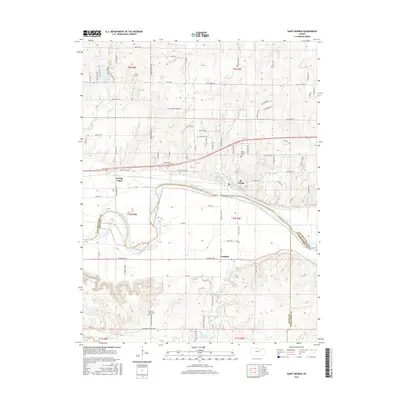
2016 Map of Saint George
USGS Topo · Published 2016About this map
The Kansas River winds through this landscape at the intersection of Pottawatomie, Riley, and Wabaunsee counties. The settlement of St. George serves as a primary anchor north of the river, while the community of Zeandale sits to the south. The terrain is defined by a dense network of drainages including Deep Cr, Blackjack Cr, and Elm Slough, which shape the local topography and historical road patterns.
Find a feature on this map
93 named features on this map. Tap any name to fly to it.
Don’t see what you’re looking for? This feature index may not catch every label — zoom into the map to look around manually.
Map Details
Editions of this 2016 Saint George Map
This is the sole edition of this map. No revisions or reprints were ever made.
Other maps of this area

1886 · Junction City
USGS Topo · 1:125,000

1889 · Wamego
USGS Topo · 1:125,000

1889 · Junction City
USGS Topo · 1:125,000

1894 · Junction City
USGS Topo · 1:125,000

1894 · Wamego
USGS Topo · 1:125,000

1947 · Manhattan
USGS Topo · 1:62,500

1950 · Manhattan
USGS Topo · 1:24,000

1951 · Swede Creek
USGS Topo · 1:24,000

1953 · Wamego
USGS Topo · 1:24,000

1953 · St George
USGS Topo · 1:24,000