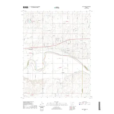
2018 Map of Saint George
USGS Topo · Published 2018About this map
The Kansas River defines the landscape of this region, separating the community of St. George on the northern bank from Zeandale to the south. This geography is further marked by the convergence of several waterways, including Blackjack Cr and Sand Cr, which drain into the river valley. The map documents a blend of established town centers and rural development, with Saint George Cem and Pleasant Valley Cem serving as significant points for genealogical research.
Find a feature on this map
97 named features on this map. Tap any name to fly to it.
Don’t see what you’re looking for? This feature index may not catch every label — zoom into the map to look around manually.
Map Details
Editions of this 2018 Saint George Map
This is the sole edition of this map. No revisions or reprints were ever made.
Other maps of this area

1886 · Junction City
USGS Topo · 1:125,000

1889 · Wamego
USGS Topo · 1:125,000

1889 · Junction City
USGS Topo · 1:125,000

1894 · Junction City
USGS Topo · 1:125,000

1894 · Wamego
USGS Topo · 1:125,000

1947 · Manhattan
USGS Topo · 1:62,500

1950 · Manhattan
USGS Topo · 1:24,000

1951 · Swede Creek
USGS Topo · 1:24,000

1953 · Wamego
USGS Topo · 1:24,000

1953 · St George
USGS Topo · 1:24,000