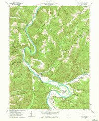
1959 Map of Saint George
USGS Topo · Published 1972About this map
Saint George sits at a strategic bend in the Cheat River, where the river valley widens between the steep slopes of Limestone Mountain and Clover Mountain. This 1959 field-checked survey reveals a landscape defined by its many watercourses, including Licking Creek and the sweeping Horseshoe Bend, where Camp Kidd and Holly Meadows occupy the fertile bottomlands. The settlement pattern is largely tied to the winding river and narrow runs, with small community centers such as Hannahsville and Auvil serving the surrounding upland farms.
Find a feature on this map
60 named features on this map. Tap any name to fly to it.
Don’t see what you’re looking for? This feature index may not catch every label — zoom into the map to look around manually.
Map Details
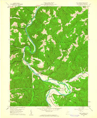
Editions of this 1959 Saint George Map
2 editions found
Other maps of this area

1886 · St. George
USGS Topo · 1:125,000

1891 · St. George
USGS Topo · 1:125,000

1907 · Thornton
USGS Topo · 1:62,500

1907 · Kingwood
USGS Topo · 1:62,500

1907 · Belington
USGS Topo · 1:62,500

1908 · Parsons
USGS Topo · 1:62,500

1925 · Kingwood
USGS Topo · 1:62,500

1926 · Thornton
USGS Topo · 1:62,500

1926 · Parsons
USGS Topo · 1:62,500

1927 · Belington
USGS Topo · 1:62,500