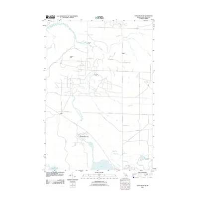
2011 Map of Saint Helen NW
USGS Topo · Published 2011About this map
The South Branch Au Sable River winds through this portion of Roscommon County, defining a landscape shaped by both natural waterways and resource extraction. At the heart of the map, the Saint Helen Oil Field indicates the industrial character of the region, while the small settlements of Keno and Geels provide points of reference for local family history and rural development. The southern edge is dominated by the expansive Lake Saint Helen and the protected grounds of Au Sable River Park. A complex network of creeks, including Hudson Creek, East Creek, and South Creek, feeds into the larger river system and marshes like the Beaver Lake Flooding. Notable landmarks such as Sherman Bridge and Brants Hill offer specific points for orientation in this terrain of forests and water.
Find a feature on this map
47 named features on this map. Tap any name to fly to it.
Don’t see what you’re looking for? This feature index may not catch every label — zoom into the map to look around manually.
Map Details
Editions of this 2011 Saint Helen NW Map
This is the sole edition of this map. No revisions or reprints were ever made.
Other maps of this area

1949 · Grayling
USGS Topo · 1:62,500

1950 · Roscommon North
USGS Topo · 1:24,000

1951 · Roscommon North
USGS Topo · 1:24,000

1954 · Traverse City
USGS Topo · 1:250,000

1958 · Traverse City
USGS Topo · 1:250,000

1963 · Luzerne
USGS Topo · 1:24,000

1963 · Roscommon South
USGS Topo · 1:24,000

1963 · Backus Lake
USGS Topo · 1:24,000

1963 · Eldorado
USGS Topo · 1:24,000

1965 · St. Helen NW
USGS Topo · 1:24,000