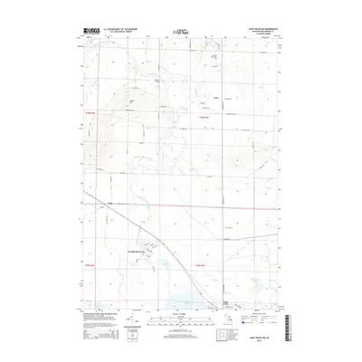
2014 Map of Saint Helen NW
USGS Topo · Published 2014About this map
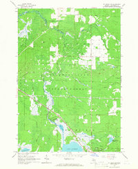
The South Branch Au Sable River anchors this corner of Higgins Township, winding northward past Sherman Bridge and through a landscape defined by its glacial hydrology. In the early 21st century, this area remains a mix of protected recreational space and small communities, with Au Sable River Park providing public access to the river's course. The presence of Kirtland Community Coll near the northern border signals the region's role as a regional educational hub, while the settlements of Keno and Geels mark long-standing points of habitation along the local road network.
Find a feature on this map
93 named features on this map. Tap any name to fly to it.
Don’t see what you’re looking for? This feature index may not catch every label — zoom into the map to look around manually.
Map Details
Editions of this 2014 Saint Helen NW Map
This is the sole edition of this map. No revisions or reprints were ever made.
Other maps of this area
1949 · Grayling
USGS Topo · 1:62,500
1950 · Roscommon North
USGS Topo · 1:24,000
1951 · Roscommon North
USGS Topo · 1:24,000

1954 · Traverse City
USGS Topo · 1:250,000

1958 · Traverse City
USGS Topo · 1:250,000
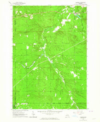
1963 · Luzerne
USGS Topo · 1:24,000
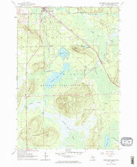
1963 · Roscommon South
USGS Topo · 1:24,000
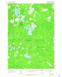
1963 · Backus Lake
USGS Topo · 1:24,000
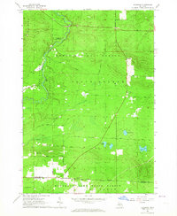
1963 · Eldorado
USGS Topo · 1:24,000
1965 · St. Helen NW
USGS Topo · 1:24,000