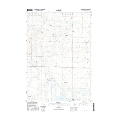
2017 Map of Saint Helen NW
USGS Topo · Published 2017About this map
Lake Saint Helen and the sprawling wetland networks of Roscommon County dominate this 2017 survey. The landscape is defined by the complex hydrology of the South Branch Au Sable River and its various tributaries, including Hudson Cr and Asum Cr, which feed into extensive lowlands like the Hudson Creek Swamp. Settlement is concentrated in the south near Saint Helen, while smaller locales such as Keno and Geels sit further north.
Find a feature on this map
64 named features on this map. Tap any name to fly to it.
Don’t see what you’re looking for? This feature index may not catch every label — zoom into the map to look around manually.
Map Details
Editions of this 2017 Saint Helen NW Map
This is the sole edition of this map. No revisions or reprints were ever made.
Other maps of this area

1949 · Grayling
USGS Topo · 1:62,500

1950 · Roscommon North
USGS Topo · 1:24,000

1951 · Roscommon North
USGS Topo · 1:24,000

1954 · Traverse City
USGS Topo · 1:250,000

1958 · Traverse City
USGS Topo · 1:250,000

1963 · Luzerne
USGS Topo · 1:24,000

1963 · Roscommon South
USGS Topo · 1:24,000

1963 · Backus Lake
USGS Topo · 1:24,000

1963 · Eldorado
USGS Topo · 1:24,000

1965 · St. Helen NW
USGS Topo · 1:24,000