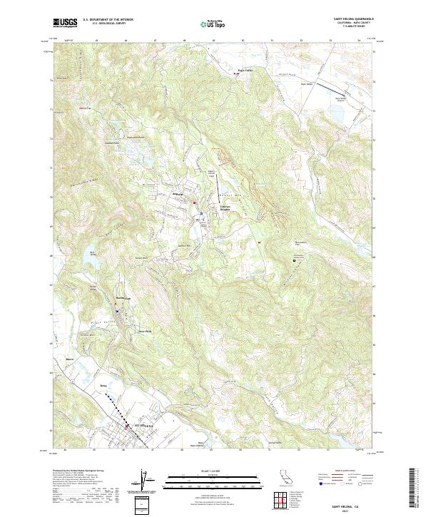
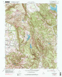
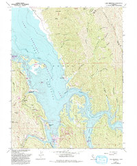
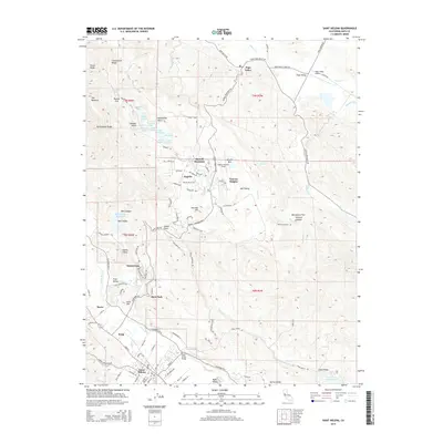
2021 Map of Saint Helena
USGS Topo · Published 2021About this map
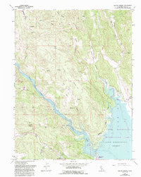
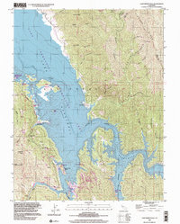
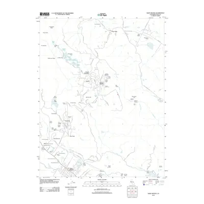
St. Helena anchors this map of the northern Napa Valley, where the Napa River winds through a landscape defined by steep ridges and established mountain communities. In the high country to the east, Angwin serves as a central hub, dominated by the campus of Pacific Union College and flanked by small airfields like Angwin-Parrett Field. The settlement pattern here follows the narrow valleys and ridges, with Deer Park and the specialized enclave of Sanitarium located at the base of the Howell Mountain slopes. This survey captures the region's complex terrain, from the sharp profile of Rattlesnake Ridge to the secluded Pope Valley in the northeast. Researchers will find interest in the transition from the valley floor settlements of Barro and Krug to the more isolated mountain locations like Veteran Heights, alongside local landmarks such as the Las Posadas Pioneer Cem.
Find a feature on this map
125 named features on this map. Tap any name to fly to it.
Don’t see what you’re looking for? This feature index may not catch every label — zoom into the map to look around manually.
Map Details
Editions of this 2021 Saint Helena Map
This is the sole edition of this map. No revisions or reprints were ever made.
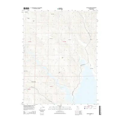
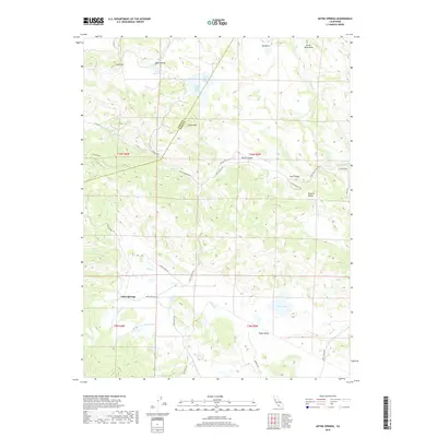
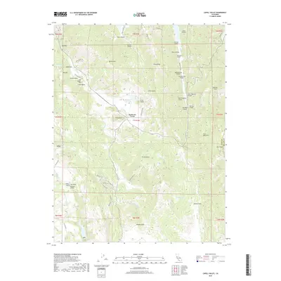
Historical Maps of Deer Park Through Time
47 maps found
1949 Cuttings Wharf
Napa County, CA
1951 Capell Valley
Napa County, CA
1951 Cuttings Wharf
Napa County, CA
1951 Mt. George
Napa County, CA
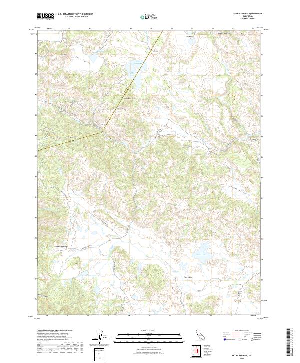
1958 Aetna Springs
Napa County, CA
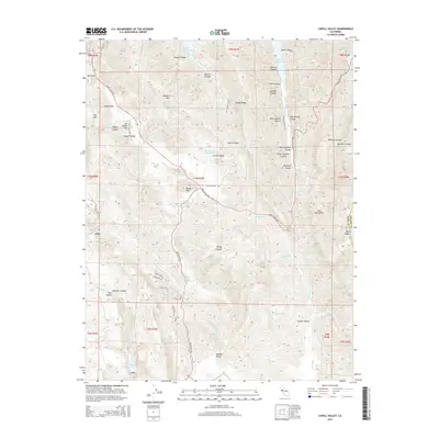
1958 Chiles Valley
Napa County, CA
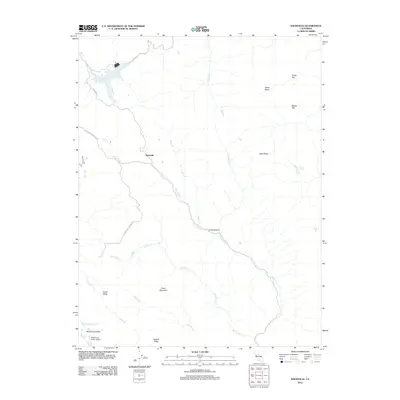
1958 Knoxville
Napa County, CA
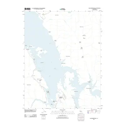
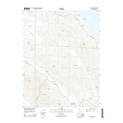
1959 Lake Berryessa
Napa County, CA
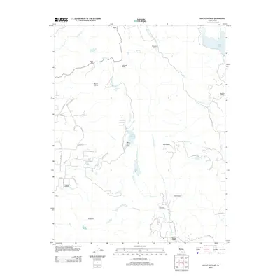
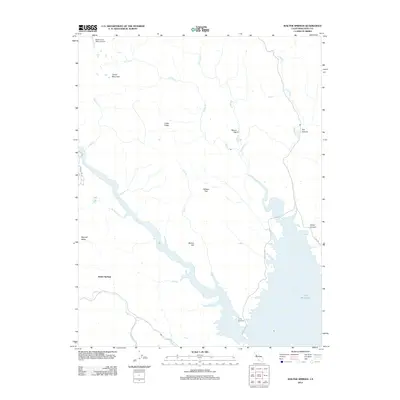
1959 Walter Springs
Napa County, CA
1998 Aetna Springs
Napa County, CA
1998 Lake Berryessa
Napa County, CA
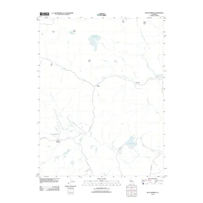
2012 Aetna Springs
Napa County, CA
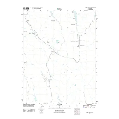
2012 Capell Valley
Napa County, CA
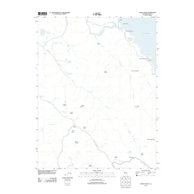
2012 Chiles Valley
Napa County, CA
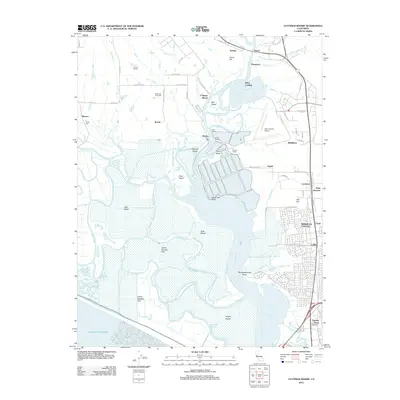
2012 Cuttings Wharf
Napa County, CA
2012 Knoxville
Napa County, CA
2012 Lake Berryessa
Napa County, CA
2012 Mount George
Napa County, CA
2012 Saint Helena
Napa County, CA
2012 Walter Springs
Napa County, CA
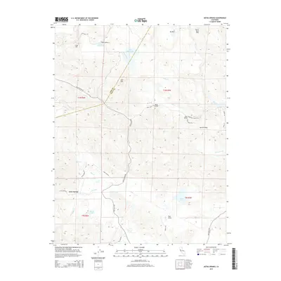
2015 Aetna Springs
Napa County, CA
2015 Capell Valley
Napa County, CA
2015 Chiles Valley
Napa County, CA
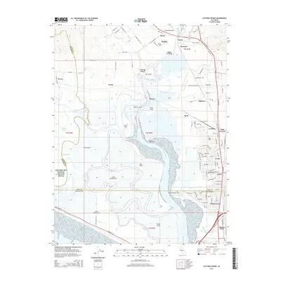
2015 Cuttings Wharf
Napa County, CA
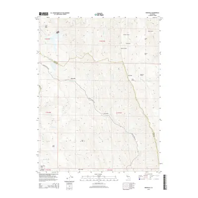
2015 Knoxville
Napa County, CA
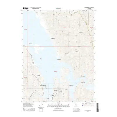
2015 Lake Berryessa
Napa County, CA
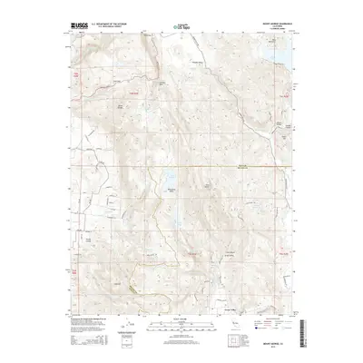
2015 Mount George
Napa County, CA
2015 Saint Helena
Napa County, CA
2015 Walter Springs
Napa County, CA
2018 Aetna Springs
Napa County, CA
2018 Capell Valley
Napa County, CA
2018 Chiles Valley
Napa County, CA
2018 Cuttings Wharf
Napa County, CA
2018 Knoxville
Napa County, CA
2018 Lake Berryessa
Napa County, CA
2018 Mount George
Napa County, CA
2018 Saint Helena
Napa County, CA
2018 Walter Springs
Napa County, CA
2021 Aetna Springs
Napa County, CA
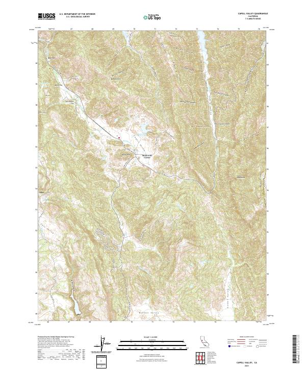
2021 Capell Valley
Napa County, CA
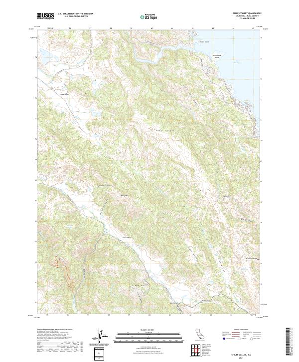
2021 Chiles Valley
Napa County, CA
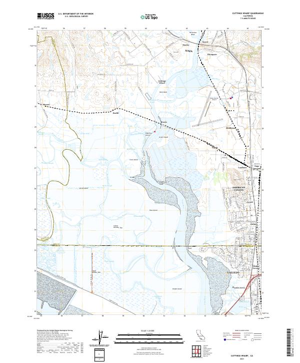
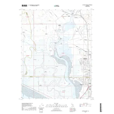
2021 Cuttings Wharf
Napa County, CA
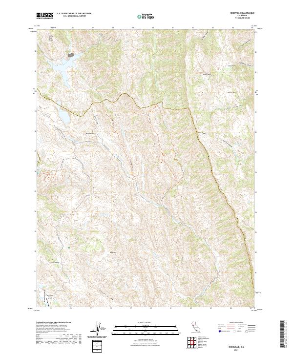
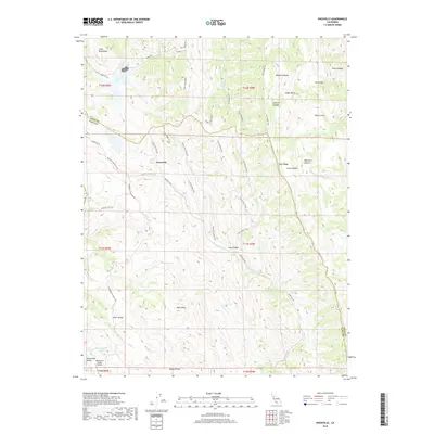
2021 Knoxville
Napa County, CA
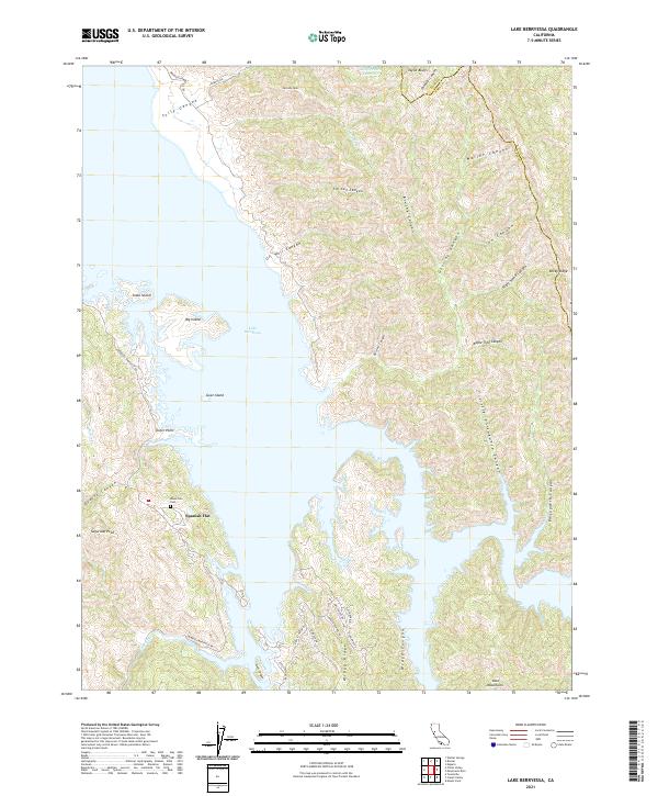
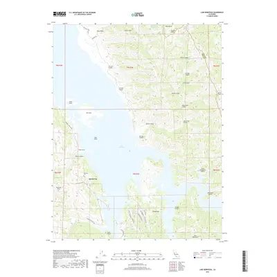
2021 Lake Berryessa
Napa County, CA
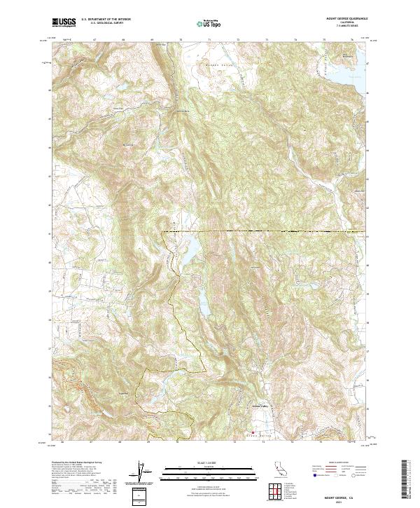
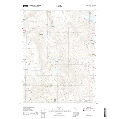
2021 Mount George
Napa County, CA
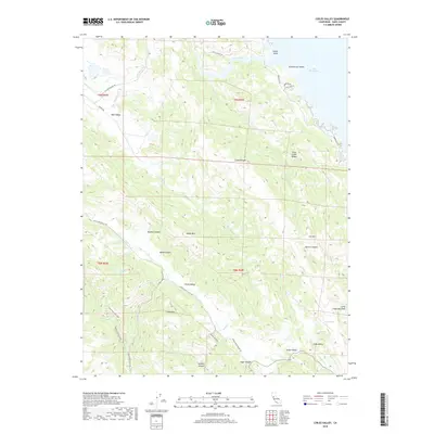
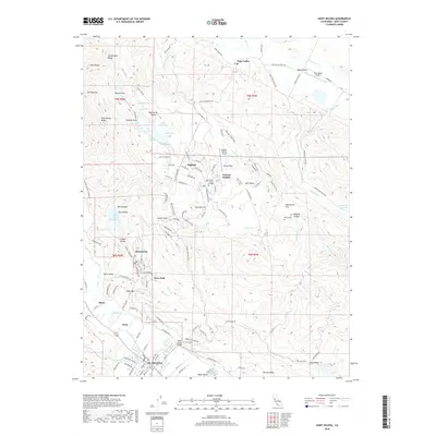
2021 Saint Helena
Napa County, CA
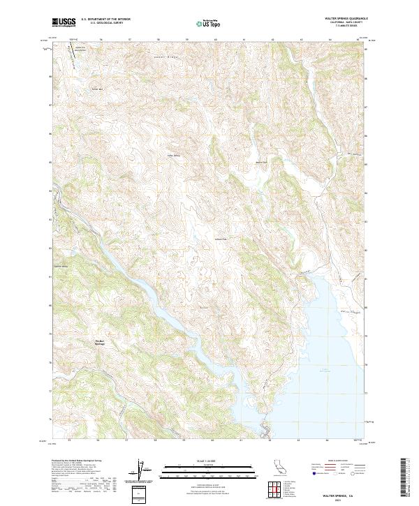
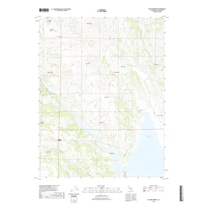
2021 Walter Springs
Napa County, CA