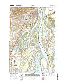
2014 Map of Saint Helens
USGS Topo · Published 2014About this map
The Columbia River forms a complex hydrologic network of sloughs, lakes, and islands along the border of Oregon and Washington. This 2014 survey documents the established settlements of Saint Helens and Scappoose on the Oregon shore, showing their relationship to the expansive floodplains of the Multnomah Channel. On the Washington side, Ridgefield sits near the Ridgefield National Wildlife Refuge, where a labyrinth of waterways like Canvasback Lake and Cunningham Slough dominate the landscape. Local history and genealogy are anchored by several notable landmarks, including the Independent Order of Odd Fellows Cem and Lutheran Cem. The map reveals the intricate waterborne infrastructure of the region, from the Saint Helens City Marina Boat Launch to the remote Warrior Rock light on the tip of Sauvie Island, alongside the recreational grounds of the Columbia County Fair and Rodeo Complex.
Find a feature on this map
120 named features on this map. Tap any name to fly to it.
Don’t see what you’re looking for? This feature index may not catch every label — zoom into the map to look around manually.
Map Details
Editions of this 2014 Saint Helens Map
This is the sole edition of this map. No revisions or reprints were ever made.
Other maps of this area

1897 · Portland
USGS Topo · 1:62,500

1905 · Portland
USGS Topo · 1:62,500

1915 · Hillsboro
USGS Topo · 1:62,500

1918 · Hillsboro
USGS Topo · 1:62,500

1922 · St. Helens
USGS Topo · 1:62,500

1940 · Hillsboro
USGS Topo · 1:62,500

1940 · Portland
USGS Topo · 1:62,500

1940 · La Center
USGS Topo · 1:62,500

1941 · St Helens
USGS Topo · 1:62,500

1943 · St Helens
USGS Topo · 1:62,500