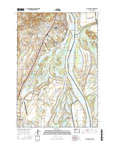
2017 Map of Saint Helens
USGS Topo · Published 2017About this map
Saint Helens and its industrial harbor occupy a strategic bend in the Columbia River where the Multnomah Channel diverges. This 2017 survey details a landscape defined by the intersection of Oregon’s timber and river history with the tidal complexity of the islands. To the south, Scappoose serves as a gateway to the region, featuring the Scappoose Industrial Airpark. The river environment is a labyrinth of sloughs and lakes, dominated by the expansive Bachelor Island and the northern tip of Sauvie Island.
Find a feature on this map
182 named features on this map. Tap any name to fly to it.
Don’t see what you’re looking for? This feature index may not catch every label — zoom into the map to look around manually.
Map Details
Editions of this 2017 Saint Helens Map
This is the sole edition of this map. No revisions or reprints were ever made.
Other maps of this area

1897 · Portland
USGS Topo · 1:62,500

1905 · Portland
USGS Topo · 1:62,500

1915 · Hillsboro
USGS Topo · 1:62,500

1918 · Hillsboro
USGS Topo · 1:62,500

1922 · St. Helens
USGS Topo · 1:62,500

1940 · Hillsboro
USGS Topo · 1:62,500

1940 · Portland
USGS Topo · 1:62,500

1940 · La Center
USGS Topo · 1:62,500

1941 · St Helens
USGS Topo · 1:62,500

1943 · St Helens
USGS Topo · 1:62,500