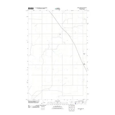
2011 Map of Saint Johns
USGS Topo · Published 2011About this map
Saint Johns serves as a primary reference point in this corner of Hill County, Montana, situated near the intersection of local thoroughfares like Base Rd. The landscape is characterized by its agricultural utility and sparse settlement patterns, which are typical of the high plains. Significant local landmarks include the Saint Johns Catholic Cemetery, a site of considerable genealogical value for those tracing family ties in the region. Water management is a critical feature of this environment, evidenced by the presence of Sigurd Dam. This 2011 survey captures the area's rural character at a time when the layout of local roads and the preservation of historic sites remained central to the community's identity.
Find a feature on this map
4 named features on this map. Tap any name to fly to it.
Don’t see what you’re looking for? This feature index may not catch every label — zoom into the map to look around manually.
Map Details
Editions of this 2011 Saint Johns Map
This is the sole edition of this map. No revisions or reprints were ever made.
Other maps of this area

1904 · Assinniboine
USGS Topo · 1:62,500

1906 · Kremlin
USGS Topo · 1:62,500

1912 · Thibedeau Lake
USGS Topo · 1:125,000

1920 · Gildford
USGS Topo · 1:125,000

1943 · Gildford
USGS Topo · 1:125,000

1953 · Havre
USGS Topo · 1:250,000

1954 · Shelby
USGS Topo · 1:250,000

1957 · Havre
USGS Topo · 1:250,000

1958 · Shelby
USGS Topo · 1:250,000

1958 · Havre
USGS Topo · 1:250,000