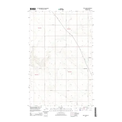
2014 Map of Saint Johns
USGS Topo · Published 2014About this map
The settlement of Saint Johns and its surrounding agricultural grid define this Hill County landscape. In this northern Montana survey, the Saint Johns Catholic Cem stands as a primary landmark for genealogists and local historians, situated along Base Rd in the northeastern section. The area is characterized by a strict section-line road network, including Road 180 N and Road 345 N, which partition the prairie into a regular patchwork of homesteads and fields. Diagonally cutting through this rectilinear system is Mt-232, reflecting a transportation corridor that predates or ignores the rigid township-and-range surveying. This intersection of modern highway and historic land divisions provides a clear view of how rural communities in the Milk River region organized their infrastructure around early Catholic parishes and prairie roads.
Find a feature on this map
21 named features on this map. Tap any name to fly to it.
Don’t see what you’re looking for? This feature index may not catch every label — zoom into the map to look around manually.
Map Details
Editions of this 2014 Saint Johns Map
This is the sole edition of this map. No revisions or reprints were ever made.
Other maps of this area

1904 · Assinniboine
USGS Topo · 1:62,500

1906 · Kremlin
USGS Topo · 1:62,500

1912 · Thibedeau Lake
USGS Topo · 1:125,000

1920 · Gildford
USGS Topo · 1:125,000

1943 · Gildford
USGS Topo · 1:125,000

1953 · Havre
USGS Topo · 1:250,000

1954 · Shelby
USGS Topo · 1:250,000

1957 · Havre
USGS Topo · 1:250,000

1958 · Shelby
USGS Topo · 1:250,000

1958 · Havre
USGS Topo · 1:250,000