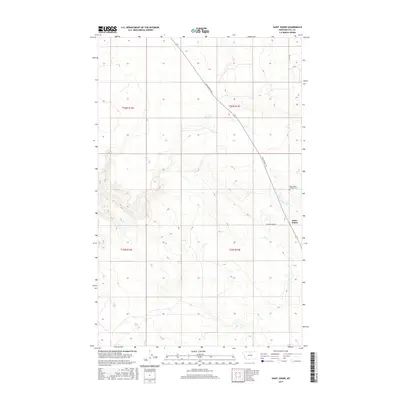
2017 Map of Saint Johns
USGS Topo · Published 2017About this map
Saint Johns is the primary settlement in this northern Hill County landscape, situated where the historic north-south path of the Wild Horse Trl intersects with the local grid of Cottonwood Rd. The map illustrates a high plains environment defined by long-standing township and range divisions, including t36n r13e and t35n r13e. A significant landmark for local family historians is the Saint Johns Catholic Cem, located just north of the town site. The road network and sparse development suggest a community deeply tied to the surrounding rangeland and the travel corridor provided by the trail, which cuts diagonally across the undulating terrain of north-central Montana.
Find a feature on this map
8 named features on this map. Tap any name to fly to it.
Don’t see what you’re looking for? This feature index may not catch every label — zoom into the map to look around manually.
Map Details
Editions of this 2017 Saint Johns Map
This is the sole edition of this map. No revisions or reprints were ever made.
Other maps of this area

1904 · Assinniboine
USGS Topo · 1:62,500

1906 · Kremlin
USGS Topo · 1:62,500

1912 · Thibedeau Lake
USGS Topo · 1:125,000

1920 · Gildford
USGS Topo · 1:125,000

1943 · Gildford
USGS Topo · 1:125,000

1953 · Havre
USGS Topo · 1:250,000

1954 · Shelby
USGS Topo · 1:250,000

1957 · Havre
USGS Topo · 1:250,000

1958 · Shelby
USGS Topo · 1:250,000

1958 · Havre
USGS Topo · 1:250,000