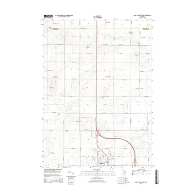
2014 Map of Saint Johns North
USGS Topo · Published 2014About this map
St. Johns anchors the southern edge of this Clinton County landscape, where the northern residential outskirts of the city meet a dense network of family farms and agricultural drainages. The map reveals a high concentration of burial grounds distributed across the townships, including Danley Cem, Union Home Cem, and the Prairie Cem, providing essential markers for genealogical research in this part of Michigan. The settlement of Eureka sits at the eastern boundary, serving as a secondary local hub near Eureka Cem.
Find a feature on this map
96 named features on this map. Tap any name to fly to it.
Don’t see what you’re looking for? This feature index may not catch every label — zoom into the map to look around manually.
Map Details
Editions of this 2014 Saint Johns North Map
This is the sole edition of this map. No revisions or reprints were ever made.
Other maps of this area

1918 · Elsie
USGS Topo · 1:62,500

1918 · Perrinton
USGS Topo · 1:62,500

1927 · De Witt
USGS Topo · 1:62,500

1928 · Laingsburg
USGS Topo · 1:62,500

1943 · Perrinton
USGS Topo · 1:62,500

1943 · Elsie
USGS Topo · 1:62,500

1944 · Laingsburg
USGS Topo · 1:62,500

1954 · Midland
USGS Topo · 1:250,000

1958 · Midland
USGS Topo · 1:250,000

1958 · Grand Rapids
USGS Topo · 1:250,000