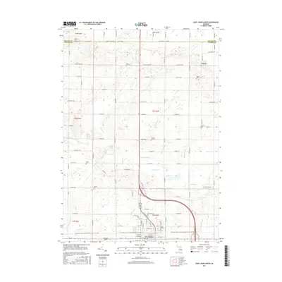
2017 Map of Saint Johns North
USGS Topo · Published 2017About this map
The city of St. Johns serves as the focal point of this Clinton County landscape, where the urban grid meets a meticulously organized network of rural section lines. The northern outskirts of the city are defined by significant community landmarks like the Mount Rest Cem and the Glowacki Airport. Moving north, the terrain is shaped by a dense system of agricultural drainage, including the Silvernail Drain, Upton Drain, and Henderson Drain, which manage the water levels of the surrounding farmland. These waterways connect several small bodies of water such as Little Clinton Lake and Searles Lake.
Find a feature on this map
101 named features on this map. Tap any name to fly to it.
Don’t see what you’re looking for? This feature index may not catch every label — zoom into the map to look around manually.
Map Details
Editions of this 2017 Saint Johns North Map
This is the sole edition of this map. No revisions or reprints were ever made.
Other maps of this area

1918 · Elsie
USGS Topo · 1:62,500

1918 · Perrinton
USGS Topo · 1:62,500

1927 · De Witt
USGS Topo · 1:62,500

1928 · Laingsburg
USGS Topo · 1:62,500

1943 · Perrinton
USGS Topo · 1:62,500

1943 · Elsie
USGS Topo · 1:62,500

1944 · Laingsburg
USGS Topo · 1:62,500

1954 · Midland
USGS Topo · 1:250,000

1958 · Midland
USGS Topo · 1:250,000

1958 · Grand Rapids
USGS Topo · 1:250,000