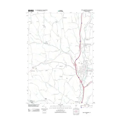
2012 Map of Saint Johnsbury
USGS Topo · Published 2012About this map
Saint Johnsbury Center and the bustling valley of the Passumpsic River anchor this 2012 study of the Vermont landscape. The topography is defined by significant elevations like The Knob and Harris Hill, while the Moose River and Sleepers River converge near the local center of commerce. This modern map preserves the location of numerous ancestral sites, including the Old Church Yard Cem and the Drew-Kelsey East Cem, alongside active agricultural landmarks such as the Arshia Dairy Farm.
Find a feature on this map
153 named features on this map. Tap any name to fly to it.
Don’t see what you’re looking for? This feature index may not catch every label — zoom into the map to look around manually.
Map Details
Editions of this 2012 Saint Johnsbury Map
This is the sole edition of this map. No revisions or reprints were ever made.
Other maps of this area

1931 · Littleton
USGS Topo · 1:62,500

1932 · Littleton
USGS Topo · 1:48,000

1935 · Littleton
USGS Topo · 1:62,500

1935 · Lyndonville
USGS Topo · 1:48,000

1938 · St. Johnsbury
USGS Topo · 1:48,000

1939 · Lyndonville
USGS Topo · 1:62,500

1943 · St. Johnsbury
USGS Topo · 1:62,500
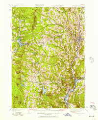
1949 · St. Johnsbury
USGS Topo · 1:62,500

1950 · Lake Champlain
USGS Topo · 1:250,000

1950 · Lewiston
USGS Topo · 1:250,000