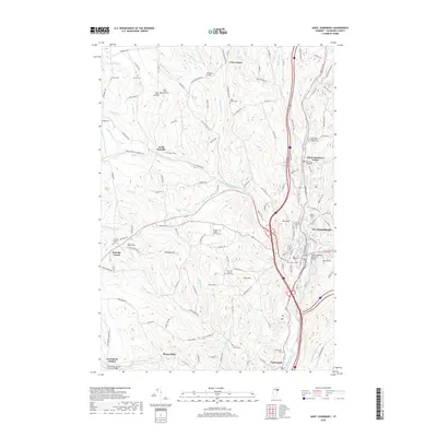
2018 Map of Saint Johnsbury
USGS Topo · Published 2018About this map
St. Johnsbury sits at the confluence of the Moose River and the Passumpsic River, serving as a regional hub defined by its river valleys and railway corridors. The landscape transitions from the urban center to the high ground of Pumpkin Hill and Crow Hill, where small settlements like North Danville and Danville Center maintain their rural character. This survey reveals a high concentration of small family and community burial grounds, such as the Drew-Kelsey East Cem and Massey Cem, illustrating the deep genealogical roots in these hills.
Find a feature on this map
148 named features on this map. Tap any name to fly to it.
Don’t see what you’re looking for? This feature index may not catch every label — zoom into the map to look around manually.
Map Details
Editions of this 2018 Saint Johnsbury Map
This is the sole edition of this map. No revisions or reprints were ever made.
Other maps of this area
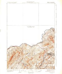
1931 · Littleton
USGS Topo · 1:62,500
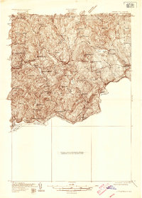
1932 · Littleton
USGS Topo · 1:48,000
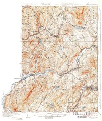
1935 · Littleton
USGS Topo · 1:62,500
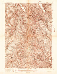
1935 · Lyndonville
USGS Topo · 1:48,000
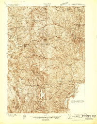
1938 · St. Johnsbury
USGS Topo · 1:48,000
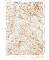
1939 · Lyndonville
USGS Topo · 1:62,500
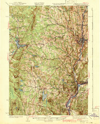
1943 · St. Johnsbury
USGS Topo · 1:62,500
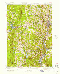
1949 · St. Johnsbury
USGS Topo · 1:62,500
1950 · Lake Champlain
USGS Topo · 1:250,000
1950 · Lewiston
USGS Topo · 1:250,000