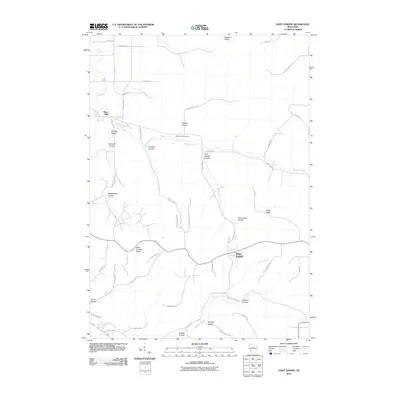
2010 Map of Saint Joseph
USGS Topo · Published 2010About this map
Saint Joseph Ridge dominates this portion of La Crosse County, serving as the high ground between the drainage basins of Bostwick Creek to the north and Mormon Creek to the south. The 2010 landscape is characterized by a series of deep, narrow valleys locally known as coulees, which define the geography and road networks of the region. Many of these features bear family names, such as Tollefson Coulee, Garbers Coulee, and Krelbich Coulee, indicating a legacy of settlement tied to the specific topography of the Driftless Area.
Find a feature on this map
48 named features on this map. Tap any name to fly to it.
Don’t see what you’re looking for? This feature index may not catch every label — zoom into the map to look around manually.
Map Details
Editions of this 2010 Saint Joseph Map
This is the sole edition of this map. No revisions or reprints were ever made.
Other maps of this area

1909 · Sparta
USGS Topo · 1:62,500

1923 · Viroqua
USGS Topo · 1:62,500

1926 · Stoddard
USGS Topo · 1:62,500

1926 · Viroqua
USGS Topo · 1:62,500

1927 · La Crosse
USGS Topo · 1:62,500

1930 · La Crosse
USGS Topo · 1:62,500

1947 · Sparta
USGS Topo · 1:62,500

1949 · Sparta
USGS Topo · 1:62,500

1958 · La Crosse
USGS Topo · 1:250,000

1961 · La Crosse
USGS Topo · 1:250,000