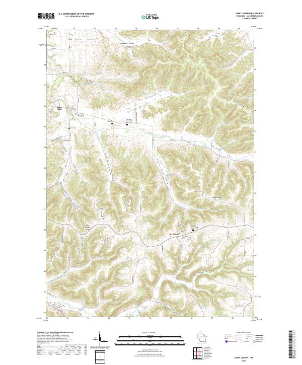
2022 Map of Saint Joseph
USGS Topo · Published 2022About this map
Barre Mills and the high plateaus of Saint Joseph Ridge define this corner of La Crosse County, where the landscape is deeply etched by a network of named coulees. The terrain is characterized by sharp transitions from narrow valleys like Russian Coulee and Tollefson Coulee up to the broad agricultural ridges. These ridges served as the primary sites for early community centers, evidenced by the concentration of faith-based landmarks such as the Old Saint Johns Lutheran Church Cem and the Saint Joseph Ridge Catholic Cem.
Find a feature on this map
80 named features on this map. Tap any name to fly to it.
Don’t see what you’re looking for? This feature index may not catch every label — zoom into the map to look around manually.
Map Details
Editions of this 2022 Saint Joseph Map
This is the sole edition of this map. No revisions or reprints were ever made.
Other maps of this area

1909 · Sparta
USGS Topo · 1:62,500

1923 · Viroqua
USGS Topo · 1:62,500

1926 · Stoddard
USGS Topo · 1:62,500

1926 · Viroqua
USGS Topo · 1:62,500

1927 · La Crosse
USGS Topo · 1:62,500

1930 · La Crosse
USGS Topo · 1:62,500

1947 · Sparta
USGS Topo · 1:62,500

1949 · Sparta
USGS Topo · 1:62,500

1958 · La Crosse
USGS Topo · 1:250,000

1961 · La Crosse
USGS Topo · 1:250,000